Hiaure
Hiaure
De Lytse Jouwer | |
|---|---|
Village | |
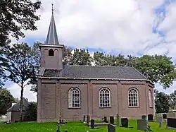 Hiaure church | |
 Flag  Coat of arms | |
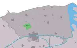 Location in the former Dongeradeel municipality | |
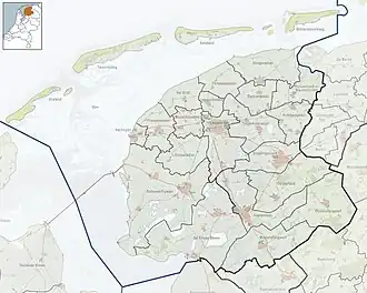 Hiaure Location in the Netherlands 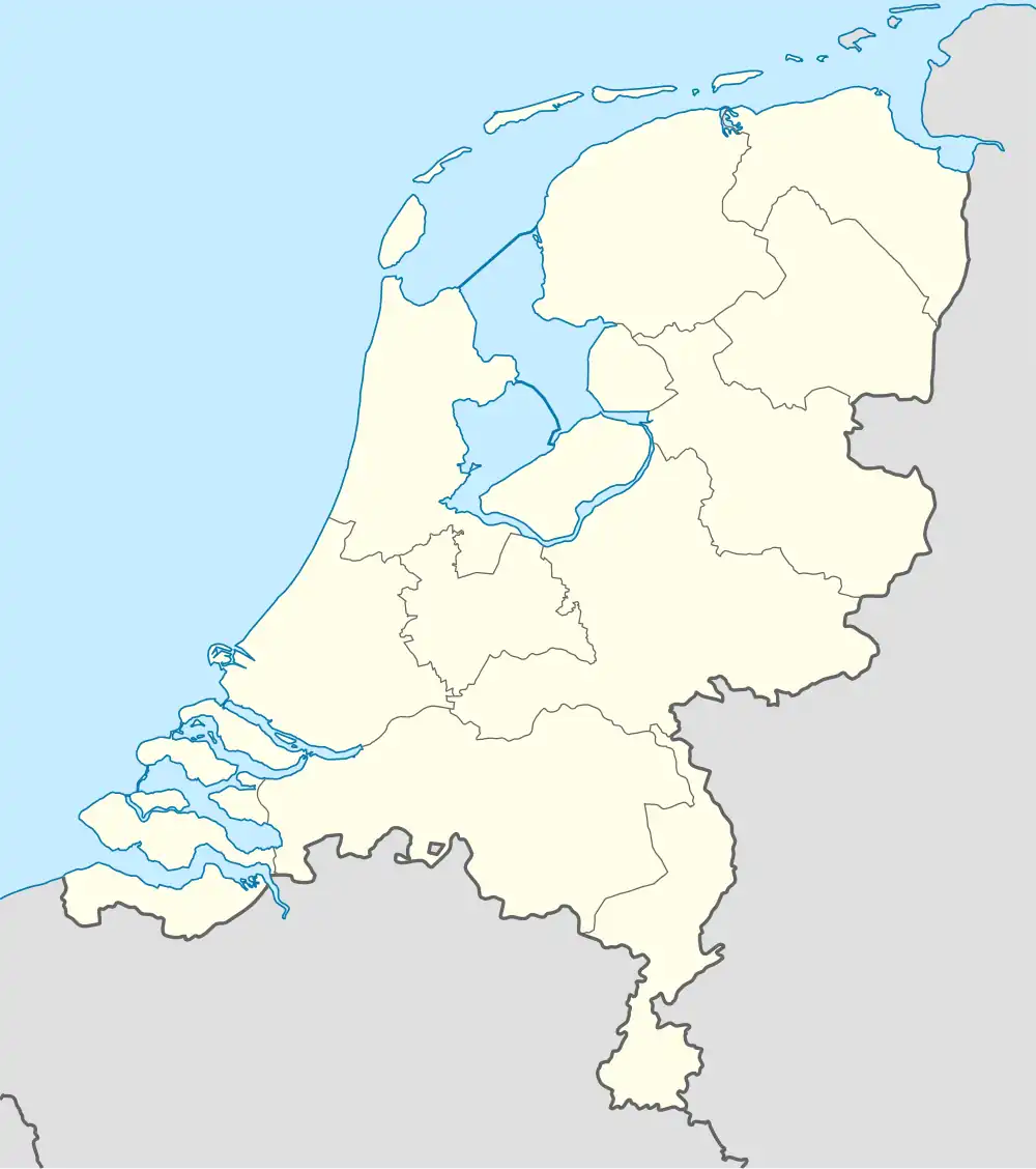 Hiaure Hiaure (Netherlands) | |
| Coordinates: 53°20′50″N 5°58′21″E / 53.34722°N 5.97250°E | |
| Country | |
| Province | |
| Municipality | Noardeast-Fryslân |
| Area | |
• Total | 2.47 km2 (0.95 sq mi) |
| Elevation | 0.6 m (2.0 ft) |
| Population (2021)[1] | |
• Total | 70 |
| • Density | 28/km2 (73/sq mi) |
| Postal code | 9148[1] |
| Dialing code | 0519 |
Hiaure (West Frisian: De Lytse Jouwer) is a small village in Noardeast-Fryslân in the province of Friesland, the Netherlands. It had a population of around 65 in January 2017.[3] Before 2019, the village was part of the Dongeradeel municipality.[4]
The village was first mentioned in 1230 as de Jeure. The etymologie is unknown.[5] The Dutch Reformed church was built in 1869 as a replacement of the medieval church. It is located on its own terp (artificial living hill). In 1840, Hiaure was home to 114 people.[4]
References
- ^ a b c "Kerncijfers wijken en buurten 2021". Central Bureau of Statistics. Retrieved 31 March 2022.
- ^ "Postcodetool for 9148BB". Actueel Hoogtebestand Nederland (in Dutch). Het Waterschapshuis. Retrieved 31 March 2022.
- ^ Aantal inwoners per woonplaats in Dongeradeel op 1 januari 2017 Archived 2017-10-21 at the Wayback Machine - Dongeradeel
- ^ a b "Hiaure". Plaatsengids (in Dutch). Retrieved 31 March 2022.
- ^ "Hiaure - (geografische naam)". Etymologiebank (in Dutch). Retrieved 31 March 2022.
External links
![]() Media related to Hiaure at Wikimedia Commons
Media related to Hiaure at Wikimedia Commons