Henrietta, Pennsylvania
Henrietta, Pennsylvania | |
|---|---|
 Henrietta  Henrietta | |
| Coordinates: 40°15′45″N 78°17′52″W / 40.26250°N 78.29778°W | |
| Country | United States |
| State | Pennsylvania |
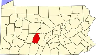
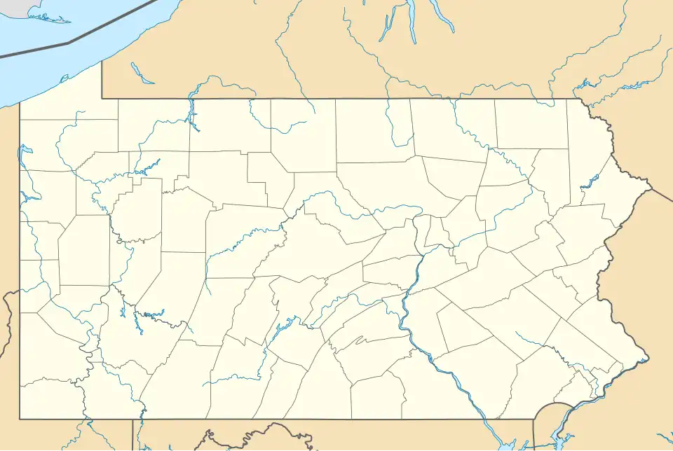
| County | Blair |
| Township | North Woodbury |
| Area | |
• Total | 0.25 sq mi (0.65 km2) |
| • Land | 0.25 sq mi (0.65 km2) |
| • Water | 0.00 sq mi (0.00 km2) |
| Elevation | 1,401 ft (427 m) |
| Population | |
• Total | 138 |
| • Density | 549.80/sq mi (212.57/km2) |
| Time zone | UTC-5 (Eastern (EST)) |
| • Summer (DST) | UTC-4 (EDT) |
| ZIP Code | 16662 (Martinsburg) |
| Area codes | 814/582 |
| FIPS code | 42-33888 |
| GNIS feature ID | 2805510[2] |
Henrietta is an unincorporated community and census-designated place (CDP) in Blair County, Pennsylvania, United States. It was first listed as a CDP prior to the 2020 census.[2]
The CDP is in the southeastern corner of Blair County, in the southeastern corner of North Woodbury Township. It is in the valley of Clover Creek, a northward-flowing tributary of the Frankstown Branch Juniata River, and sits at the western foot of Tussey Mountain. It is 5 miles (8 km) southeast of Martinsburg and 9 miles (14 km) southeast of Roaring Spring.
Demographics
| Census | Pop. | Note | %± |
|---|---|---|---|
| 2020 | 138 | — | |
| U.S. Decennial Census[4] | |||
Education
It is in the Spring Cove School District.[5]
References
- ^ "ArcGIS REST Services Directory". United States Census Bureau. Retrieved October 12, 2022.
- ^ a b c U.S. Geological Survey Geographic Names Information System: Henrietta, Pennsylvania
- ^ "Census Population API". United States Census Bureau. Retrieved October 12, 2022.
- ^ "Census of Population and Housing". Census.gov. Retrieved June 4, 2016.
- ^ "2020 CENSUS - SCHOOL DISTRICT REFERENCE MAP: Blair County, PA" (PDF). U.S. Census Bureau. Retrieved January 2, 2025. - Text list