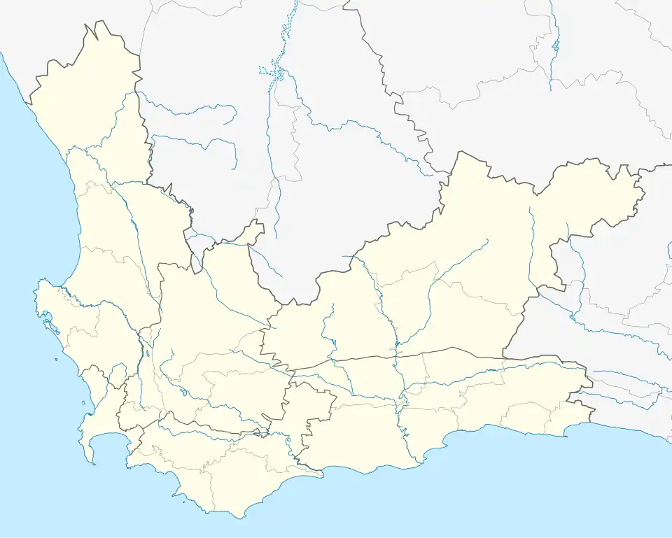
Jongensfontein
Jongensfontein | |
|---|---|
 Jongensfontein 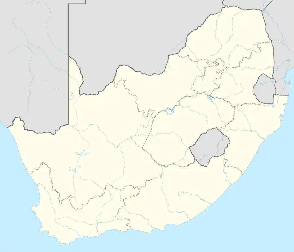 Jongensfontein | |
| Coordinates: 34°26′S 21°20′E / 34.433°S 21.333°E | |
| Country | South Africa |
| Province | Western Cape |
| District | Garden Route |
| Municipality | Hessequa |
| Area | |
• Total | 2.34 km2 (0.90 sq mi) |
| Population (2011)[1] | |
• Total | 355 |
| • Density | 150/km2 (390/sq mi) |
| Racial makeup (2011) | |
| • Black African | 3.4% |
| • Coloured | 2.8% |
| • White | 93.8% |
| First languages (2011) | |
| • Afrikaans | 92.9% |
| • English | 5.1% |
| • Tswana | 1.2% |
| • Other | 0.9% |
| Time zone | UTC+2 (SAST) |
Jongensfontein (also Groot-Jongensfontein) is a coastal settlement in the Garden Route District Municipality in the Western Cape province of South Africa.
References
- ^ a b c d "Main Place Jongensfontein". Census 2011.
Municipalities and communities of Garden Route District Municipality, Western Cape | ||
|---|---|---|
District seat: George | ||
| Bitou | .svg.png) | |
| George | ||
| Hessequa | ||
| Kannaland | ||
| Knysna | ||
| Mossel Bay | ||
| Oudtshoorn | ||