Foktő
Foktő | |
|---|---|
 Flag  Coat of arms | |
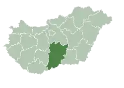
 Location of Foktő 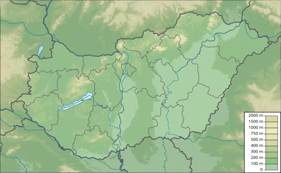 Foktő (Hungary) 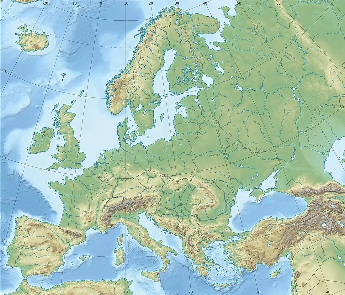 Foktő (Europe) | |
| Coordinates: 46°31′N 18°55′E / 46.517°N 18.917°E | |
| Country | |
| County | Bács-Kiskun |
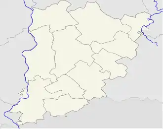
| District | Kalocsa |
| Area | |
• Total | 31.53 km2 (12.17 sq mi) |
| Population (2015) | |
• Total | 1,590[1] |
| • Density | 53.79/km2 (139.3/sq mi) |
| Time zone | UTC+1 (CET) |
| • Summer (DST) | UTC+2 (CEST) |
| Postal code | 6331 |
| Area code | 78 |
Foktő (Croatian: Voktov) is a village in Bács-Kiskun county, in the Southern Great Plain region of Hungary.
Geography
It covers an area of 31.53 km2 (12 sq mi) and had a population of 1590 people as of 2015.[1]
References
- ^ a b Gazetteer of Hungary, 1 January 2015. Hungarian Central Statistical Office. 3 September 2015