Étrépagny
Étrépagny | |
|---|---|
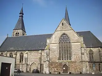 The church in Étrépagny | |
.svg.png) Coat of arms | |
Location of Étrépagny | |
 Étrépagny  Étrépagny | |
| Coordinates: 49°18′24″N 1°36′44″E / 49.3067°N 1.6122°E | |
| Country | France |
| Region | Normandy |
| Department | Eure |
| Arrondissement | Les Andelys |
| Canton | Gisors |
| Government | |
| • Mayor (2020–2026) | Frédéric Cailliet[1] |
Area 1 | 20.38 km2 (7.87 sq mi) |
| Population (2022)[2] | 3,677 |
| • Density | 180/km2 (470/sq mi) |
| Time zone | UTC+01:00 (CET) |
| • Summer (DST) | UTC+02:00 (CEST) |
| INSEE/Postal code | 27226 /27150 |
| Elevation | 74–134 m (243–440 ft) (avg. 104 m or 341 ft) |
| 1 French Land Register data, which excludes lakes, ponds, glaciers > 1 km2 (0.386 sq mi or 247 acres) and river estuaries. | |
Étrépagny (French pronunciation: [etʁepaɲi]) is a commune in the Eure department in the Normandy region in northern France.
Population
| Year | Pop. | ±% p.a. |
|---|---|---|
| 1968 | 2,637 | — |
| 1975 | 3,074 | +2.21% |
| 1982 | 3,151 | +0.35% |
| 1990 | 3,671 | +1.93% |
| 1999 | 3,553 | −0.36% |
| 2007 | 3,560 | +0.02% |
| 2012 | 3,885 | +1.76% |
| 2017 | 3,764 | −0.63% |
| Source: INSEE[3] | ||
International relations
Since 1989, the town has been twinned with the Irish town of Trim which has a significant Norman heritage.
See also
References
- ^ "Répertoire national des élus: les maires" (in French). data.gouv.fr, Plateforme ouverte des données publiques françaises. 13 September 2022.
- ^ "Populations de référence 2022" (in French). The National Institute of Statistics and Economic Studies. 19 December 2024.
- ^ Population en historique depuis 1968, INSEE
Wikimedia Commons has media related to Étrépagny.