Chamblac
Chamblac | |
|---|---|
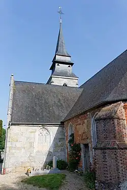 The church in Chamblac | |
.svg.png) Coat of arms | |
Location of Chamblac | |
 Chamblac  Chamblac | |
| Coordinates: 48°59′21″N 0°32′43″E / 48.9892°N 0.5453°E | |
| Country | France |
| Region | Normandy |
| Department | Eure |
| Arrondissement | Bernay |
| Canton | Breteuil |
| Government | |
| • Mayor (2020–2026) | Charles-Edouard de Broglie[1] |
Area 1 | 20.9 km2 (8.1 sq mi) |
| Population (2022)[2] | 359 |
| • Density | 17/km2 (44/sq mi) |
| Time zone | UTC+01:00 (CET) |
| • Summer (DST) | UTC+02:00 (CEST) |
| INSEE/Postal code | 27138 /27270 |
| Elevation | 133–204 m (436–669 ft) |
| 1 French Land Register data, which excludes lakes, ponds, glaciers > 1 km2 (0.386 sq mi or 247 acres) and river estuaries. | |
Chamblac (French pronunciation: [ʃɑ̃blak]) is a commune in the Eure department in northern France.
Geography
The commune along with another 69 communes shares part of a 4,747 hectare, Natura 2000 conservation area, called Risle, Guiel, Charentonne.[3]
Population
| Year | Pop. | ±% |
|---|---|---|
| 1962 | 359 | — |
| 1968 | 342 | −4.7% |
| 1975 | 351 | +2.6% |
| 1982 | 327 | −6.8% |
| 1990 | 336 | +2.8% |
| 1999 | 376 | +11.9% |
| 2008 | 360 | −4.3% |
See also
References
- ^ "Répertoire national des élus: les maires". data.gouv.fr, Plateforme ouverte des données publiques françaises (in French). 9 August 2021.
- ^ "Populations de référence 2022" (in French). The National Institute of Statistics and Economic Studies. 19 December 2024.
- ^ "INPN - FSD Natura 2000 - FR2300150 - Risle, Guiel, Charentonne - Description".
Wikimedia Commons has media related to Chamblac.