Elmalı, Uzunköprü
Elmalı
Ermeniköy | |
|---|---|
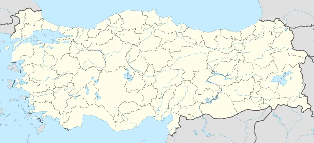 Elmalı Location in Turkey 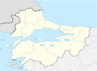 Elmalı Elmalı (Marmara) | |
| Coordinates: 41°10′N 26°54′E / 41.167°N 26.900°E | |
| Country | Turkey |
| Province | Edirne |
| District | Uzunköprü |
| Elevation | 119 m (390 ft) |
| Population (2022) | 732 |
| Time zone | UTC+3 (TRT) |
| Postal code | 22200 |
| Area code | 0284 |
Elmalı is a village in Uzunköprü District of Edirne Province, Turkey.[1] Its population is 732 (2022).[2] It is situated in the Eastern Thrace plains. The distance to Uzunköprü is 20 kilometres (12 mi). The old name of this village is Ermeniköy. It was a Bulgarian village during the Ottoman Empire era. But after the Second Balkan War the Bulgarian population was forced to leave the settlement.
References
- ^ Köy, Turkey Civil Administration Departments Inventory. Retrieved 1 March 2023.
- ^ "Address-based population registration system (ADNKS) results dated 31 December 2022, Favorite Reports" (XLS). TÜİK. Retrieved 13 March 2023.