Ie, Noardeast-Fryslân
Ie | |
|---|---|
Village | |
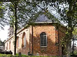 St Gangulf church | |
 Flag  Coat of arms | |
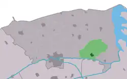 Location in the former Dongeradeel municipality | |
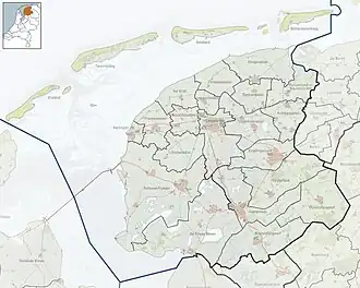 Ie Location in the Netherlands 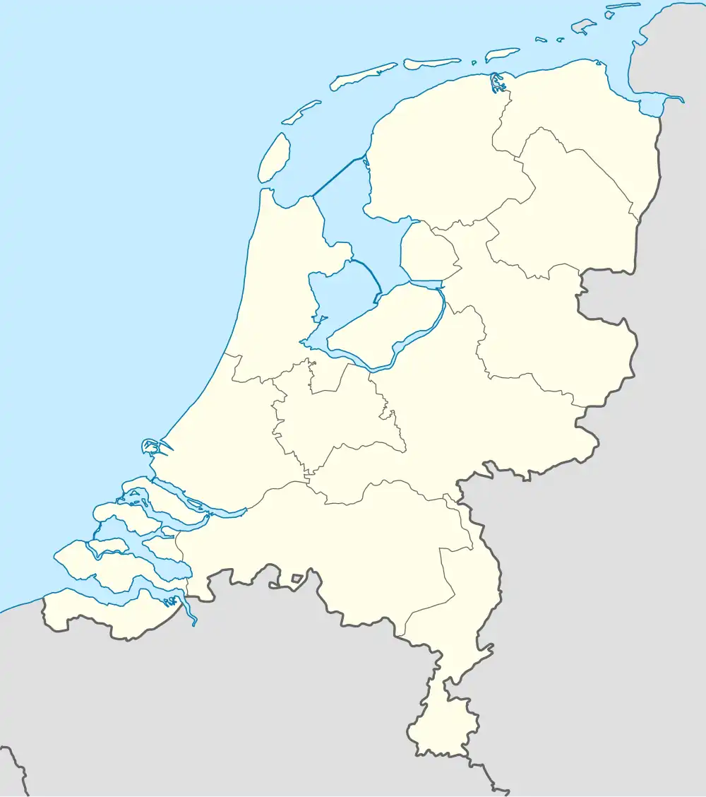 Ie Ie (Netherlands) | |
| Coordinates: 53°19′48″N 6°06′00″E / 53.33000°N 6.10000°E | |
| Country | |
| Province | |
| Municipality | Noardeast-Fryslân |
| Area | |
• Total | 13.26 km2 (5.12 sq mi) |
| Elevation | 0.2 m (0.7 ft) |
| Population (2021)[1] | |
• Total | 645 |
| • Density | 49/km2 (130/sq mi) |
| Postal code | 9131[1] |
| Dialing code | 0519 |
| Website | Official |
Ie is a village in the northern Netherlands. It is located in the municipality of Noardeast-Fryslân, Friesland, east of Dokkum. Ie had approximately 834 inhabitants in January 2017.[3] Before 2019, the village was part of the Dongeradeel municipality.[4]
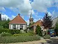
There are various types of buildings in Ie, including a church built in the 13th century. A flax museum of the Netherlands is also located in Ie. Ie has mostly remained an intact rural village.[5]
Ie has the shortest name of all places in the Netherlands.
History
The village was first mentioned in 1450 as Ee, and means "water / river".[6] Ie is a terp (artificial living mound) village with a radial structure. It developed several centuries before Christ. The Dutch Reformed church dates from the 16th century and has a 13th-century nave. The tower was built in 1869.[7] Up to 1729, a dike made inland navigation, and the nearby hamlet of Tibma had to be used as inland harbour.[8]
Ie was densely populated. There was no construction outside the terp until the 18th century.[8] In 1840, Ie was home to 904 people.[4]
The village's official name was changed from Ee to Ie in 2023.[9][10]
Transportation
The N 358 passes through town.
Bus routes 63 and 562 connect Ie with Dokkum.
Gallery
-
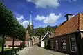 View on Ie
 -
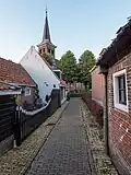 Alley in Ie
 -
 Road in Ie
 -
.jpg) Sign at the entrance of town
Sign at the entrance of town
References
- ^ a b c "Kerncijfers wijken en buurten 2021". Central Bureau of Statistics. Retrieved 31 March 2022.
two entries
- ^ "Postcodetool for 9131AA". Actueel Hoogtebestand Nederland (in Dutch). Het Waterschapshuis. Archived from the original on 21 September 2013. Retrieved 31 March 2022.
- ^ Aantal inwoners per woonplaats in Dongeradeel op 1 januari 2017 Archived 2017-10-21 at the Wayback Machine - Dongeradeel
- ^ a b "Ee". Plaatsengids (in Dutch). Archived from the original on 31 March 2022. Retrieved 31 March 2022.
- ^ "Flax Museum It Braakhok - Ee". Fiets netwerk (in Dutch). Retrieved 31 March 2022.
- ^ "Ie - (geografische naam)". Etymologiebank (in Dutch). Retrieved 31 March 2022.
- ^ Ronald Stenvert & Sabine Broekhoven (2000). "Ee" (in Dutch). Zwolle: Waanders. ISBN 90 400 9476 4. Retrieved 31 March 2022.
- ^ a b "Ee". Friesland Wonderland (in Dutch). Retrieved 2 April 2022.
- ^ "22 dorpen in Noardeast-Fryslân krijgen op 1 januari 2023 een nieuwe Friese naam" [22 villages in Noardeast-Fryslân will receive a new Frisian name on 1 January 2023]. RTV NOF (in Dutch). 10 December 2022. Retrieved 7 April 2023.
- ^ "Friese namen" [Frisian names]. Taalunie (in Dutch). Retrieved 7 April 2023.
External links
![]() Media related to Ie, Noardeast-Fryslân at Wikimedia Commons
Media related to Ie, Noardeast-Fryslân at Wikimedia Commons