Des Voeux Island
 Des Voeux Island 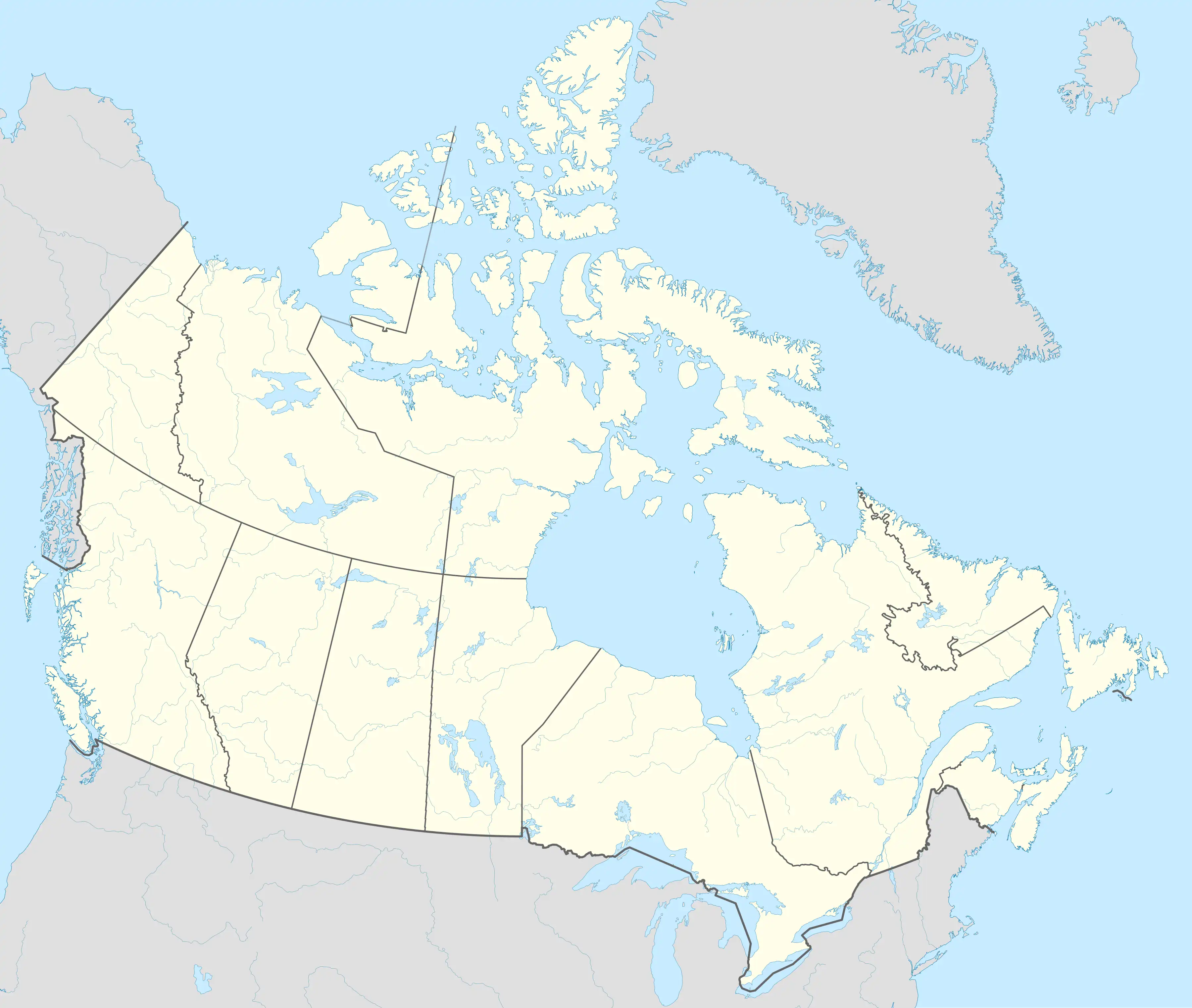 Des Voeux Island | |
| Geography | |
|---|---|
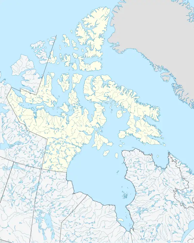
| Location | Northern Canada |
| Coordinates | 76°10′43″N 096°57′11″W / 76.17861°N 96.95306°W / 76.17861; -96.95306 (Des Voeux Island) |
| Archipelago | Queen Elizabeth Islands Arctic Archipelago |
| Administration | |
Canada | |
| Territory | Nunavut |
| Demographics | |
| Population | Uninhabited |
Des Voeux Island is a part of the Queen Elizabeth Islands and the Arctic Archipelago within the territory of Nunavut.[1] It is an irregularly shaped island situated in the Queens Channel, closer to Bathurst Island than to Devon Island.
The island is named in honour of Sir George William Des Vœux, a former Governor General of Newfoundland and Labrador and Governor of Hong Kong.
References
- ^ "Search the Canadian Geographical Names Database (CGNDB) - Des Voeux Island". Government of Canada. 2021-02-16. Retrieved 2025-06-15.
External links
- Des Voeux Island in the Atlas of Canada - Toporama; Natural Resources Canada
Arctic Cordillera of Canada | |
|---|---|
| Ranges |
|
| Mountains | |
| Passes | |
| Glaciers | |
| Regions | |
| Communities | |
| Parks | |
Islands of the Qikiqtaaluk Region | |||||||||
|---|---|---|---|---|---|---|---|---|---|
| |||||||||
| Belcher Islands | |||||||||
| Islands of Cumberland Sound |
| ||||||||
| Islands of Davis Strait | |||||||||
| Islands of Foxe Basin | |||||||||
| Islands of Frobisher Bay |
| ||||||||
| Islands of the Gulf of Boothia | |||||||||
| Islands of Hudson Bay | |||||||||
| Islands of Hudson Strait |
| ||||||||
| Islands of James Bay | |||||||||
| Islands of the Labrador Sea | |||||||||
| Queen Elizabeth Islands |
| ||||||||
See also Islands of the Kitikmeot Region, Islands of the Kivalliq Region. | |||||||||
This article is issued from Wikipedia. The text is available under Creative Commons Attribution-Share Alike 4.0 unless otherwise noted. Additional terms may apply for the media files.