Sawtooth Range (Nunavut)
| Sawtooth Range | |
|---|---|
.jpg) Sawtooth Range; in front: Slidre Fiord and Fosheim Peninsula | |
| Geography | |
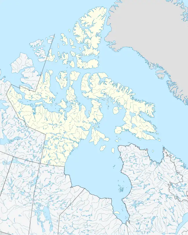 Sawtooth Range Location in Nunavut | |
| Country | Canada |
| Region | Nunavut |
| Range coordinates | 79°35′00″N 83°15′00″W / 79.5833°N 83.25°W |
| Parent range | Arctic Cordillera |
The Sawtooth Range is a jagged snow-capped mountain range on central Ellesmere Island, Nunavut, Canada. It lies between the Fosheim Peninsula and the Wolf Valley. The Sawtooth Range is a subrange of the Arctic Cordillera. It also runs through a Canadian Forces Station, called Eureka, a base used to study atmospheric changes.
Geology
Widespread clastic deposits, 80–1,800 m (260–5,910 ft) long, on the eastern side of the Sawtooth Range are the result of debris flows and slushflows.[1]
Gallery
-
.jpg) Slidre Fiord with Eureka Weather Station: Fosheim Peninsula and Sawtooth Range
Slidre Fiord with Eureka Weather Station: Fosheim Peninsula and Sawtooth Range