Datooli
Datooli | |
|---|---|
village | |
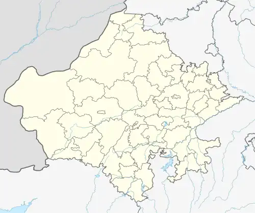 Datooli Location in Rajasthan, India  Datooli Datooli (India) | |
| Coordinates: 26°35′51″N 75°37′41″E / 26.59755°N 75.62812°E | |
| Country | |
| State | Rajasthan |
| District | Jaipur |
| Talukas | Phagi |
| Area | |
• Total | 7.99 km2 (3.08 sq mi) |
| Elevation | 383 m (1,257 ft) |
| Population | |
• Total | 1,322[1] |
| • Density | 165/km2 (430/sq mi) |
| Languages | |
| • Official | Hindi |
| Time zone | UTC+5:30 (IST) |
| PIN | 303006 |
| Telephone code | 911430 |
| ISO 3166 code | RJ-IN |
| Lok Sabha constituency | Ajmer |
| Vidhan Sabha constituency | Dudu[3] |
| Distance from Jaipur | 44 kilometres (27 mi) North (land) |
| Distance from Phagi | 11 kilometres (6.8 mi) East (land) |
Datooli is a village in Bhojpura patwar circle in Phagi Tehsil in Jaipur district, Rajasthan.
In Datooli, there are 220 households with total population of 1,322 (with 50.38% males and 49.62% females), based on 2011 census.[4] Total area of village is 7.99 km2. There is one primary school in Datooli village.
References
Places adjacent to Datooli | ||||||||||||||||
|---|---|---|---|---|---|---|---|---|---|---|---|---|---|---|---|---|
| ||||||||||||||||