Chittora
Chittora | |
|---|---|
village | |
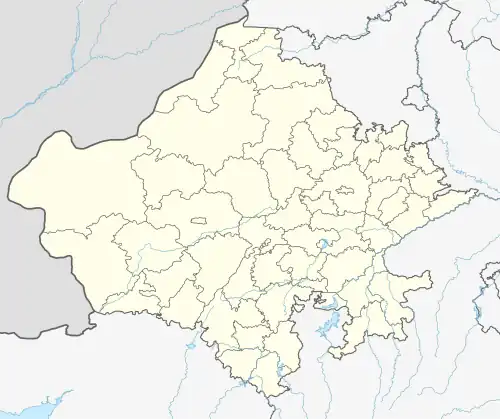 Chittora Location in Rajasthan, India  Chittora Chittora (India) | |
| Coordinates: 26°38′16″N 75°42′15″E / 26.63764°N 75.70421°E | |
| Country | |
| State | Rajasthan |
| District | Jaipur |
| Tehsils | Phagi |
| Area | |
• Total | 23.69 km2 (9.15 sq mi) |
| Elevation | 383 m (1,257 ft) |
| Population | |
• Total | 3,170[1] |
| • Density | 134/km2 (350/sq mi) |
| Languages | |
| • Official | Hindi |
| Time zone | UTC+5:30 (IST) |
| PIN | 303904 |
| Telephone code | 911430 |
| ISO 3166 code | RJ-IN |
| Lok Sabha constituency | Dausa |
| Vidhan Sabha constituency | Chaksu[3] |
| Distance from Jaipur | 38 kilometres (24 mi) South (land) |
| Distance from Phagi | 18 kilometres (11 mi) North (land) |
Chittora is a village and revenue block (ILRC) in Phagi Tehsil in Jaipur district, Rajasthan.
Based on a 2011 census, Chittora has a total population of 3,170 (53.53% male, 46.47% female) distributed among 392 households. The total area of the village is 23.69 km2.
References
- ^ "populationofindia.co.in". www.populationofindia.co.in.
- ^ Census India
- ^ "Archived copy" (PDF). Archived from the original (PDF) on 5 October 2010. Retrieved 21 October 2013.
{{cite web}}: CS1 maint: archived copy as title (link)
Places adjacent to Chittora | ||||||||||||||||
|---|---|---|---|---|---|---|---|---|---|---|---|---|---|---|---|---|
| ||||||||||||||||