Coyron
Coyron | |
|---|---|
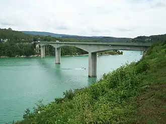 The Pyle bridge in Coyron | |
Location of Coyron | |
 Coyron 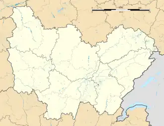 Coyron | |
| Coordinates: 46°30′42″N 5°42′21″E / 46.5117°N 5.7058°E | |
| Country | France |
| Region | Bourgogne-Franche-Comté |
| Department | Jura |
| Arrondissement | Saint-Claude |
| Canton | Moirans-en-Montagne |
| Government | |
| • Mayor (2020–2026) | Olivier Gambey[1] |
Area 1 | 5.53 km2 (2.14 sq mi) |
| Population (2022)[2] | 69 |
| • Density | 12/km2 (32/sq mi) |
| Time zone | UTC+01:00 (CET) |
| • Summer (DST) | UTC+02:00 (CEST) |
| INSEE/Postal code | 39175 /39260 |
| Elevation | 423–555 m (1,388–1,821 ft) |
| 1 French Land Register data, which excludes lakes, ponds, glaciers > 1 km2 (0.386 sq mi or 247 acres) and river estuaries. | |
Coyron (French pronunciation: [kwaʁɔ̃]) is a commune in the Jura department in Bourgogne-Franche-Comté in eastern France.[3]
Population
| Year | Pop. | ±% p.a. |
|---|---|---|
| 1968 | 17 | — |
| 1975 | 21 | +3.06% |
| 1982 | 45 | +11.50% |
| 1990 | 52 | +1.82% |
| 1999 | 58 | +1.22% |
| 2009 | 73 | +2.33% |
| 2014 | 74 | +0.27% |
| 2020 | 71 | −0.69% |
| Source: INSEE[4] | ||
See also
References
- ^ "Répertoire national des élus: les maires". data.gouv.fr, Plateforme ouverte des données publiques françaises (in French). 2 December 2020.
- ^ "Populations de référence 2022" (in French). The National Institute of Statistics and Economic Studies. 19 December 2024.
- ^ INSEE commune file
- ^ Population en historique depuis 1968, INSEE
Wikimedia Commons has media related to Coyron.