Colomieu
Colomieu | |
|---|---|
Commune | |
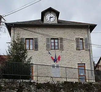 Town hall | |
Location of Colomieu | |
 Colomieu  Colomieu | |
| Coordinates: 45°44′00″N 5°37′00″E / 45.7333°N 5.6167°E | |
| Country | France |
| Region | Auvergne-Rhône-Alpes |
| Department | Ain |
| Arrondissement | Belley |
| Canton | Belley |
| Intercommunality | Bugey Sud |
| Government | |
| • Mayor (2022–2026) | Régis Imbert[1] |
Area 1 | 5.96 km2 (2.30 sq mi) |
| Population (2022)[2] | 164 |
| • Density | 28/km2 (71/sq mi) |
| Time zone | UTC+01:00 (CET) |
| • Summer (DST) | UTC+02:00 (CEST) |
| INSEE/Postal code | 01110 /01300 |
| Elevation | 319–476 m (1,047–1,562 ft) (avg. 326 m or 1,070 ft) |
| 1 French Land Register data, which excludes lakes, ponds, glaciers > 1 km2 (0.386 sq mi or 247 acres) and river estuaries. | |
Colomieu (French pronunciation: [kɔlɔmjø]) is a commune in the Ain department in eastern France.
Population
| Year | Pop. | ±% p.a. |
|---|---|---|
| 1968 | 98 | — |
| 1975 | 97 | −0.15% |
| 1982 | 122 | +3.33% |
| 1990 | 114 | −0.84% |
| 1999 | 128 | +1.30% |
| 2007 | 117 | −1.12% |
| 2012 | 118 | +0.17% |
| 2017 | 140 | +3.48% |
| Source: INSEE[3] | ||
See also
References
- ^ "Répertoire national des élus: les maires" (in French). data.gouv.fr, Plateforme ouverte des données publiques françaises. 16 December 2022. Archived from the original on 28 June 2020. Retrieved 3 May 2024.
- ^ "Populations de référence 2022" (in French). The National Institute of Statistics and Economic Studies. 19 December 2024.
- ^ Population en historique depuis 1968 Archived 26 April 2023 at the Wayback Machine, INSEE
Wikimedia Commons has media related to Colomieu.