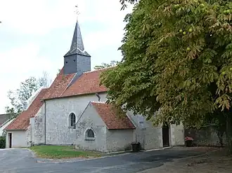
Châtillon-sur-Cher
Châtillon-sur-Cher | |
|---|---|
 | |
 Coat of arms | |
Location of Châtillon-sur-Cher | |
 Châtillon-sur-Cher 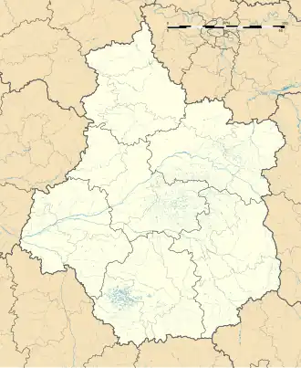 Châtillon-sur-Cher | |
| Coordinates: 47°16′40″N 1°29′41″E / 47.2778°N 1.4947°E | |
| Country | France |
| Region | Centre-Val de Loire |
| Department | Loir-et-Cher |
| Arrondissement | Romorantin-Lanthenay |
| Canton | Saint-Aignan |
| Government | |
| • Mayor (2020–2026) | Alain Poma[1] |
Area 1 | 29.66 km2 (11.45 sq mi) |
| Population (2022)[2] | 1,661 |
| • Density | 56/km2 (150/sq mi) |
| Time zone | UTC+01:00 (CET) |
| • Summer (DST) | UTC+02:00 (CEST) |
| INSEE/Postal code | 41043 /41130 |
| Elevation | 67–118 m (220–387 ft) (avg. 93 m or 305 ft) |
| 1 French Land Register data, which excludes lakes, ponds, glaciers > 1 km2 (0.386 sq mi or 247 acres) and river estuaries. | |
Châtillon-sur-Cher (French pronunciation: [ʃatijɔ̃ syʁ ʃɛʁ]) is a commune in the Loir-et-Cher department in central France.[3] It has a total area of 29.66 km sq (11.45 sq mi).
Population
| Year | Pop. | ±% p.a. |
|---|---|---|
| 1968 | 1,333 | — |
| 1975 | 1,343 | +0.11% |
| 1982 | 1,289 | −0.58% |
| 1990 | 1,395 | +0.99% |
| 1999 | 1,516 | +0.93% |
| 2007 | 1,600 | +0.68% |
| 2012 | 1,732 | +1.60% |
| 2017 | 1,722 | −0.12% |
| 2020 | 1,679 | −0.84% |
| Source: INSEE[4] | ||
See also
References
- ^ "Répertoire national des élus: les maires". data.gouv.fr, Plateforme ouverte des données publiques françaises (in French). 2 December 2020.
- ^ "Populations de référence 2022" (in French). The National Institute of Statistics and Economic Studies. 19 December 2024.
- ^ INSEE commune file
- ^ Population en historique depuis 1968, INSEE
Wikimedia Commons has media related to Châtillon-sur-Cher.