Bouillé-Ménard
Bouillé-Ménard | |
|---|---|
 The church in Bouillé-Ménard | |
Location of Bouillé-Ménard | |
 Bouillé-Ménard 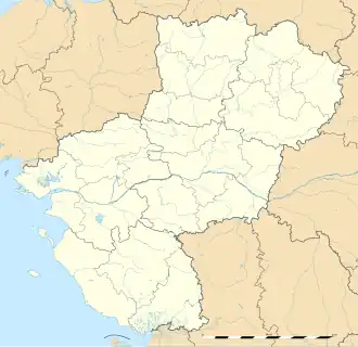 Bouillé-Ménard | |
| Coordinates: 47°44′33″N 0°58′00″W / 47.7425°N 0.9667°W | |
| Country | France |
| Region | Pays de la Loire |
| Department | Maine-et-Loire |
| Arrondissement | Segré |
| Canton | Segré-en-Anjou Bleu |
| Government | |
| • Mayor (2020–2026) | Yannick Galon[1] |
Area 1 | 15.79 km2 (6.10 sq mi) |
| Population (2022)[2] | 775 |
| • Density | 49/km2 (130/sq mi) |
| Time zone | UTC+01:00 (CET) |
| • Summer (DST) | UTC+02:00 (CEST) |
| INSEE/Postal code | 49036 /49520 |
| Elevation | 32–104 m (105–341 ft) (avg. 99 m or 325 ft) |
| 1 French Land Register data, which excludes lakes, ponds, glaciers > 1 km2 (0.386 sq mi or 247 acres) and river estuaries. | |
Bouillé-Ménard (French pronunciation: [buje menaʁ] ⓘ) is a commune in the Maine-et-Loire department in western France. It is the antipode of the Bounty Islands.
Population
| Year | Pop. | ±% p.a. |
|---|---|---|
| 1968 | 891 | — |
| 1975 | 746 | −2.51% |
| 1982 | 733 | −0.25% |
| 1990 | 719 | −0.24% |
| 1999 | 638 | −1.32% |
| 2007 | 728 | +1.66% |
| 2012 | 734 | +0.16% |
| 2017 | 750 | +0.43% |
| Source: INSEE[3] | ||
See also
References
- ^ "Répertoire national des élus: les maires". data.gouv.fr, Plateforme ouverte des données publiques françaises (in French). 2 December 2020.
- ^ "Populations de référence 2022" (in French). The National Institute of Statistics and Economic Studies. 19 December 2024.
- ^ Population en historique depuis 1968, INSEE
Wikimedia Commons has media related to Bouillé-Ménard.