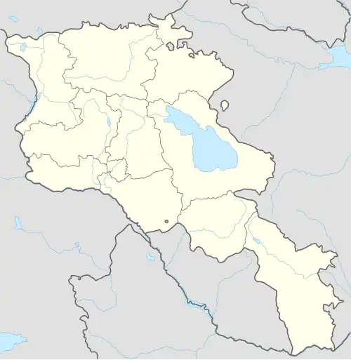
Aragats, Armavir
40°13′06″N 44°13′58″E / 40.21833°N 44.23278°E
Aragats
Արագած | |
|---|---|
 Aragats | |
| Coordinates: 40°13′06″N 44°13′58″E / 40.21833°N 44.23278°E | |
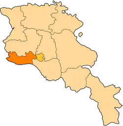
| Country | Armenia |
| Marz (Province) | Armavir Province |
| Population (2011) | |
• Total | 2,924[1] |
| Time zone | UTC+4 ( ) |
| • Summer (DST) | UTC+5 ( ) |
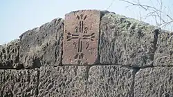
Aragats (Armenian: Արագած), is a village in the Armavir Province of Armenia. The village's church, dedicated to Saint Stepanos, dates to 1870. There is a Urartian fortress nearby.
See also
References
- ^ "Armavir (Armenia): Towns and Villages in Municipalities". www.citypopulation.de. Retrieved 2024-11-10.
- Aragats, Armavir at GEOnet Names Server
- World Gazeteer: Armenia – World-Gazetteer.com
- Report of the results of the 2001 Armenian Census, Statistical Committee of Armenia
- Kiesling, Brady (June 2000). Rediscovering Armenia: An Archaeological/Touristic Gazetteer and Map Set for the Historical Monuments of Armenia (PDF). Archived (PDF) from the original on 6 November 2021.