Aar, Udaipur
Aar | |
|---|---|
Village | |
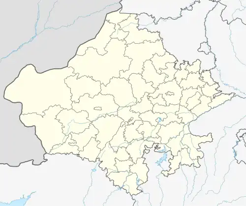 Aar Location in Rajasthan, India  Aar Aar (India) | |
| Coordinates: 23°57′55″N 74°23′34″E / 23.9653°N 74.3927°E | |
| Country | |
| State | Rajasthan |
| District | Udaipur |
| Area | |
• Total | 4.5547 km2 (1.7586 sq mi) |
| Population (2011) | |
• Total | 1,007 |
| • Density | 220/km2 (570/sq mi) |
| Languages | |
| • Official | Hindi, Mewari |
| Time zone | UTC+5:30 (IST) |
| PIN | 313611 |
| Vehicle registration | RJ- |
| Nearest city | Udaipur |
| Lok Sabha constituency | Udaipur |
Aar is a village located in Girwa Tehsil of Udaipur district in the Indian state of Rajasthan. As per the Population Census 2011, Aachhat village has a population of 1007 of which 513 are males while 494 are females.[1]
References
- ^ "District Census Handbook" (PDF). Censusindia.gov.in.