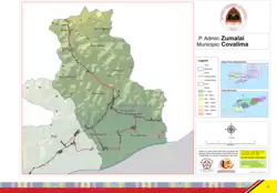
Zumalai Administrative Post
Zumalai | |
|---|---|
| |
 Aldeia Webaba, Raimea | |
 Official map | |
 Zumalai | |
| Coordinates: 9°9′S 125°27′E / 9.150°S 125.450°E | |
| Country | |
| Municipality | Cova Lima |
| Seat | Tashilin |
| Sucos |
|
| Area | |
• Total | 282.9 km2 (109.2 sq mi) |
| Population (2015 census) | |
• Total | 13,263 |
| • Density | 47/km2 (120/sq mi) |
| Households (2015 census) | |
| • Total | 2,419 |
| Time zone | UTC+09:00 (TLT) |
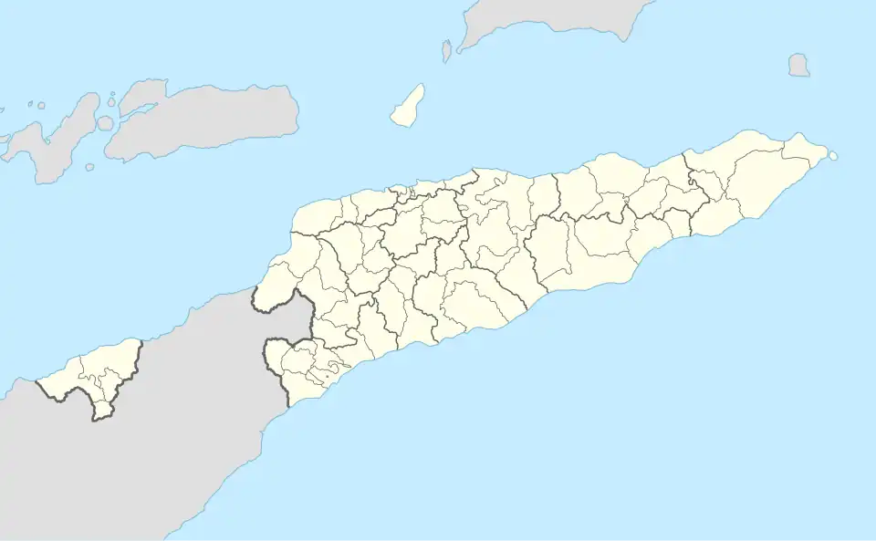
Zumalai, officially Zumalai Administrative Post (Portuguese: Posto Administrativo de Zumalai, Tetum: Postu administrativu Zumalai), is an administrative post (and was formerly a subdistrict) in Cova Lima municipality, East Timor.[1][2][3][4] Its seat or administrative centre is Tashilin.[2]
References
- ^ "Subdistricts of Timor-Leste". www.statoids.com. 4 May 2010. Retrieved 21 September 2022.
- ^ a b "Diploma Ministerial n.o 24/2014 de 24 de Julho Orgânica dos Postos Administrativos Preâmbulo" [Ministerial Diploma No. 24/2014 of 24 July Organic of Administrative Posts Preamble]. Jornal da República (in Portuguese). Government of East Timor. 24 July 2014. Archived from the original on 4 March 2016. Retrieved 21 September 2022.
- ^ "Zumalai". City Population. Retrieved 12 February 2019.
- ^ Gunderson, Shane (2015). Momentum and the East Timor Independence Movement. Lexington Books. p. 123. ISBN 9781498502351.
External links
![]() Media related to Zumalai Administrative Post at Wikimedia Commons
Media related to Zumalai Administrative Post at Wikimedia Commons
- Zumalai Administrative Post – information page on Ministry of State Administration site (in Portuguese)