Zubiri, Navarre
Zubiri, Navarre | |
|---|---|
| Zubiri | |
 | |
| Coordinates: 42°55′49″N 1°30′16″W / 42.930272°N 1.504309°W | |
| Country | Spain |
| State/Parish | Navarre |
| County | N/A |
| Elevation | 529 m (1,848 ft) |
| Population (2017)[1] | |
• City | 435 |
| Time zone | UTC+1 (CET) |
| • Summer (DST) | UTC+2 (CEST) |
| Post code | 31630 |
| Area code | 307 |
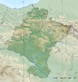
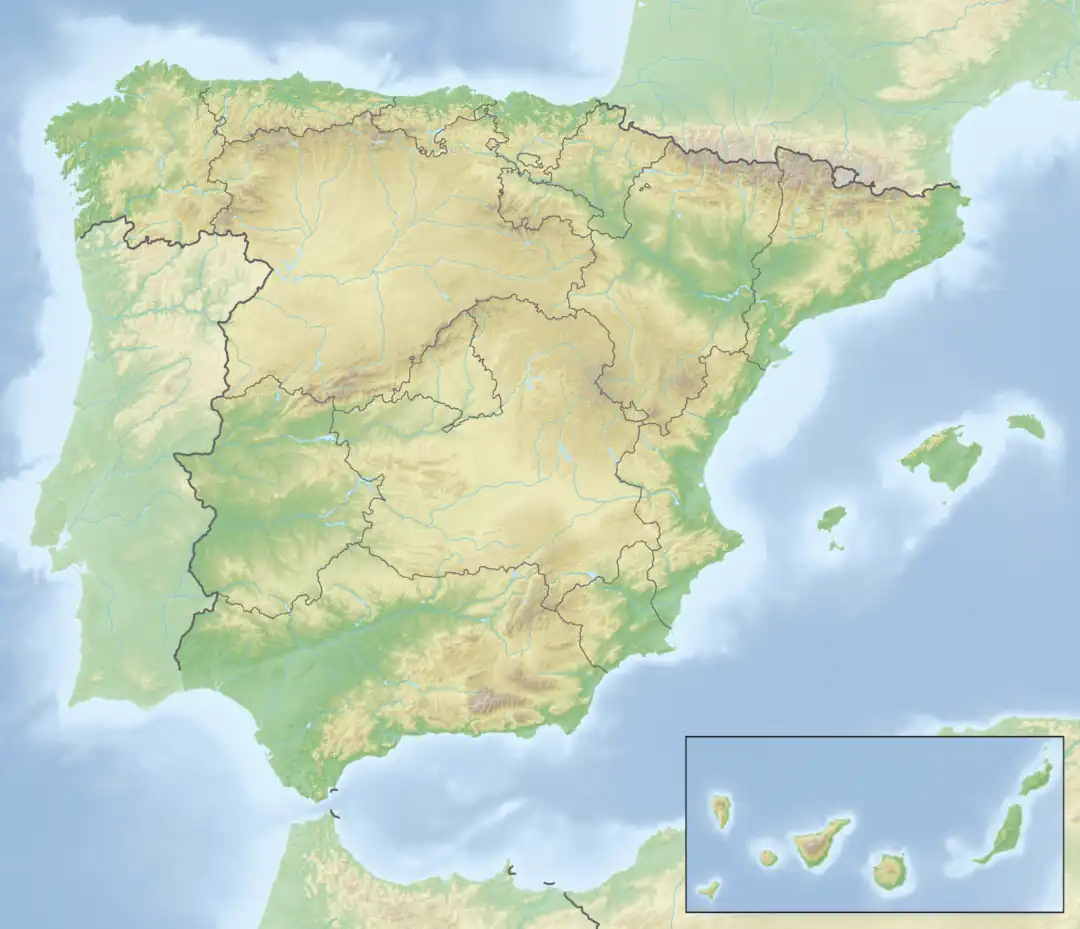
Zubiri is a small village in Navarre, situated on Spain's N135[2] with a Romanic bridge across the Arga River. Zubiri is located on the French Way path of the Camino de Santiago. It is the administrative centre of Esteribar.[3]
Demographics
As with many Navarre towns, Zubiri is a small town. The 2017 census by INE Bureau places the population at 435.
| Year | Pop. | ±% |
|---|---|---|
| 2017 | 435 | — |
Climate

As with the rest of Spain, a humid, warm climate ensues, with temperatures ranging from 6 °C to 28 °C:
Highways and roads
- N135 main highway to Pamplona
- N138 North of Zubiri, to rural Spain
- Calle Rio Arga Road Major Residential Access.
References
- ^ "List of place name: Population of the Continuous Municipal Register by Population Unit". INE. Retrieved 2018-02-01.
- ^ As of 2017 (pulled from "Zubiri" on Google Maps/CANES
- ^ "Esteribar | Zubiri".