Zigerbergkopf
| Zigerbergkopf | |
|---|---|
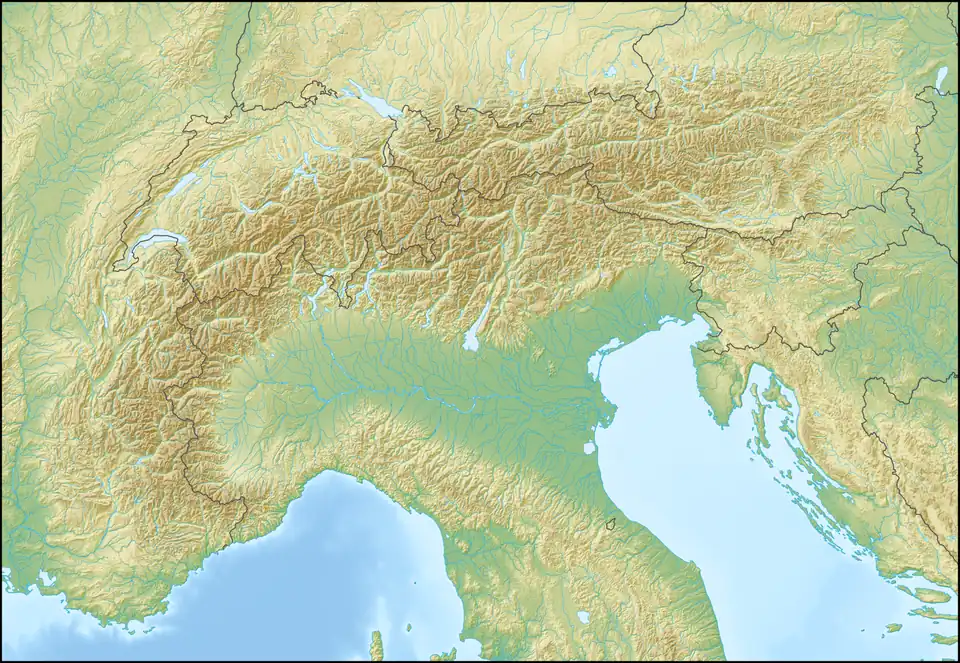 Zigerbergkopf Location in the Alps | |
| Highest point | |
| Elevation | 2,051 m (6,729 ft) |
| Coordinates | 47°9′4″N 9°36′12″E / 47.15111°N 9.60333°E |
| Geography | |
| Location | Liechtenstein / Austria |
| Parent range | Rätikon, Alps |
Zigerbergkopf is a mountain on the border of Liechtenstein and Austria in the Rätikon range of the Eastern Alps with a height of 2,051 metres (6,729 ft).
References
- Feldkirch - Vaduz (Map). 1:50000. Wander, Bike- und Skitourenkarte. Cartography by Kompass-Karten GmbH. Kompass. 2007.