Zhytkavichy
Zhytkavichy
| |
|---|---|
.jpg) | |
 Flag  Coat of arms | |
 Zhytkavichy | |
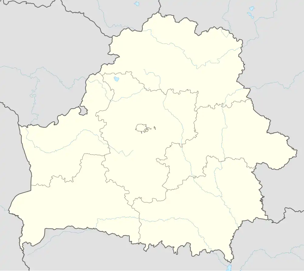
| Coordinates: 52°14′N 27°52′E / 52.233°N 27.867°E | |
| Country | Belarus |
| Region | Gomel Region |
| District | Zhytkavichy District |
| Population (2025)[1] | |
• Total | 15,788 |
| Time zone | UTC+3 (MSK) |
| Postal code | 247951 (2,3) |
| Area code | +375 2353 |
| License plate | 3 |
Zhytkavichy or Zhitkovichi[a] is a town in Gomel Region, Belarus. It serves as the administrative center of Zhytkavichy District.[1] As of 2025, it has a population of 15,788.[1]
History
Zhytkavichy was first mentioned in 1500.
Climate
| Climate data for Zhytkavichy (1991–2020) | |||||||||||||
|---|---|---|---|---|---|---|---|---|---|---|---|---|---|
| Month | Jan | Feb | Mar | Apr | May | Jun | Jul | Aug | Sep | Oct | Nov | Dec | Year |
| Record high °C (°F) | 6.0 (42.8) |
8.4 (47.1) |
15.3 (59.5) |
24.0 (75.2) |
28.7 (83.7) |
31.5 (88.7) |
32.4 (90.3) |
32.2 (90.0) |
27.1 (80.8) |
21.7 (71.1) |
13.7 (56.7) |
7.6 (45.7) |
32.4 (90.3) |
| Mean daily maximum °C (°F) | −0.8 (30.6) |
0.9 (33.6) |
6.4 (43.5) |
14.7 (58.5) |
20.6 (69.1) |
24.0 (75.2) |
25.7 (78.3) |
25.0 (77.0) |
19.1 (66.4) |
12.3 (54.1) |
5.1 (41.2) |
0.5 (32.9) |
12.8 (55.0) |
| Daily mean °C (°F) | −3.5 (25.7) |
−2.6 (27.3) |
1.8 (35.2) |
8.7 (47.7) |
14.3 (57.7) |
17.9 (64.2) |
19.6 (67.3) |
18.6 (65.5) |
13.2 (55.8) |
7.5 (45.5) |
2.2 (36.0) |
−2.0 (28.4) |
8.0 (46.4) |
| Mean daily minimum °C (°F) | −6.0 (21.2) |
−5.6 (21.9) |
−2.2 (28.0) |
3.2 (37.8) |
8.3 (46.9) |
12.0 (53.6) |
14.0 (57.2) |
12.7 (54.9) |
8.1 (46.6) |
3.5 (38.3) |
−0.2 (31.6) |
−4.2 (24.4) |
3.6 (38.5) |
| Record low °C (°F) | −19.8 (−3.6) |
−17.9 (−0.2) |
−11.9 (10.6) |
−4.5 (23.9) |
0.6 (33.1) |
4.8 (40.6) |
8.5 (47.3) |
5.9 (42.6) |
0.0 (32.0) |
−5.3 (22.5) |
−9.9 (14.2) |
−14.9 (5.2) |
−19.8 (−3.6) |
| Average precipitation mm (inches) | 47.0 (1.85) |
43.5 (1.71) |
48.6 (1.91) |
43.1 (1.70) |
70.0 (2.76) |
78.4 (3.09) |
118.9 (4.68) |
68.1 (2.68) |
55.2 (2.17) |
57.8 (2.28) |
49.6 (1.95) |
52.5 (2.07) |
732.7 (28.85) |
| Average precipitation days (≥ 1.0 mm) | 11.1 | 10.2 | 10.2 | 8.0 | 9.7 | 10.7 | 11.0 | 8.0 | 7.7 | 8.5 | 9.4 | 11.2 | 115.7 |
| Source: NOAA[2] | |||||||||||||
Notes
References
- ^ a b c "Численность населения на 1 января 2025 г. и среднегодовая численность населения за 2024 год по Республике Беларусь в разрезе областей, районов, городов, поселков городского типа". belsat.gov.by. Archived from the original on 29 March 2025. Retrieved 8 May 2025.
- ^ "World Meteorological Organization Climate Normals for 1991-2020 — Zhytkavichy". National Oceanic and Atmospheric Administration. Retrieved January 13, 2024.
External links
| Districts (raiony) |  | |
|---|---|---|
| Cities and towns | ||