Zevender
Zevender | |
|---|---|
Neighbourhood and hamlet | |
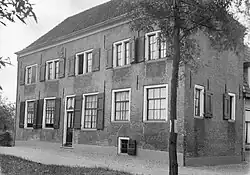 House in Zevender | |
 Zevender Location in the Netherlands 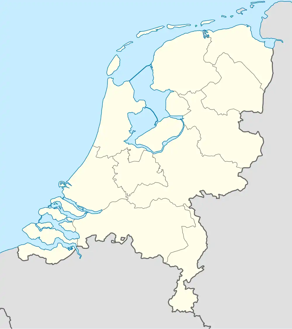 Zevender Zevender (Netherlands) | |
| Coordinates: 51°57′24″N 4°52′33″E / 51.95661°N 4.87572°E | |
| Country | Netherlands |
| Province | Utrecht |
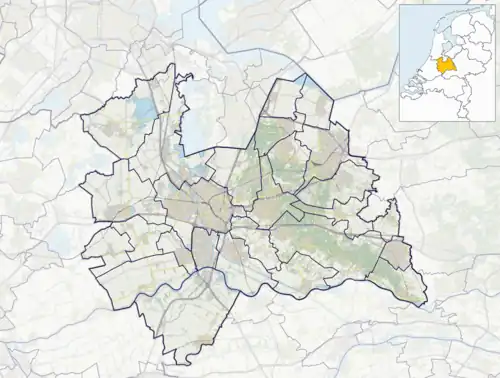
| Municipality | Lopik |
| Area | |
• Total | 0.50 km2 (0.19 sq mi) |
| Population (2021)[1] | |
• Total | 175 |
| • Density | 350/km2 (910/sq mi) |
| Time zone | UTC+1 (CET) |
| • Summer (DST) | UTC+2 (CEST) |
| Postal code | 3411[1] |
| Dialing code | 0348 |
Zevender is a hamlet in the Dutch province of Utrecht. It is located in the municipality of Lopik, 2 km northeast of Schoonhoven. A part of Zevender has become a neighbourhood of Schoonhoven.[2]
Zevender was a separate municipality from 1817 to 1857, when it was merged with Willige Langerak.[3]
It was first mentioned in 1247 as Zeuendre. The etymology is unclear.[4] The postal authorities have placed it under Lopik.[5] There are no place name signs. There used to be a castle in Zevender. It was besieged in 1300 and 1304, but burnt down in 1518. In 1540, Charles V ordered the removal of the ruins. In 1840, Zevender was home to 129 people.[2]
References
- ^ a b c "Kerncijfers wijken en buurten 2021". Central Bureau of Statistics. Retrieved 28 March 2022.
- ^ a b "Zevender". Plaatsengids (in Dutch). Retrieved 28 March 2022.
- ^ Ad van der Meer and Onno Boonstra, "Repertorium van Nederlandse gemeenten", KNAW, 2006. "KNAW > Publicaties > Detailpagina". Archived from the original on February 20, 2007. Retrieved December 3, 2009.
- ^ "Zevender - (geografische naam)". Etymologiebank (in Dutch). Retrieved 28 March 2022.
- ^ "Postcode 3411 in Lopik". Postcode bij adres (in Dutch). Retrieved 28 March 2022.