Zörnigall
Zörnigall | |
|---|---|
Location of Zörnigall | |
 Zörnigall 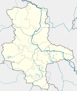 Zörnigall | |
| Coordinates: 51°52′17″N 12°45′23″E / 51.87139°N 12.75639°E | |
| Country | Germany |
| State | Saxony-Anhalt |
| District | Wittenberg |
| Town | Zahna-Elster |
| Area | |
• Total | 3.57 km2 (1.38 sq mi) |
| Elevation | 76 m (249 ft) |
| Population (2009-12-31) | |
• Total | 901 |
| • Density | 250/km2 (650/sq mi) |
| Time zone | UTC+01:00 (CET) |
| • Summer (DST) | UTC+02:00 (CEST) |
| Postal codes | 06888 |
| Dialling codes | 034922 |
| Vehicle registration | WB |
Zörnigall is a village and a former municipality in Wittenberg district in Saxony-Anhalt, Germany. Since 1 January 2011, it is part of the town Zahna-Elster. It belonged to the administrative municipality (Verwaltungsgemeinschaft) of Elbaue-Fläming.
Geography
Zörnigall lies about 8 km southeast of Lutherstadt Wittenberg.
Economy and transportation
Federal Highway (Bundesstraße) B 187 between Wittenberg and Jessen is about 1 km to the south.
References