Wolfsberg im Schwarzautal
Wolfsberg im Schwarzautal | |
|---|---|
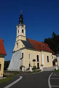 Church in Wolfsberg | |
 Coat of arms | |
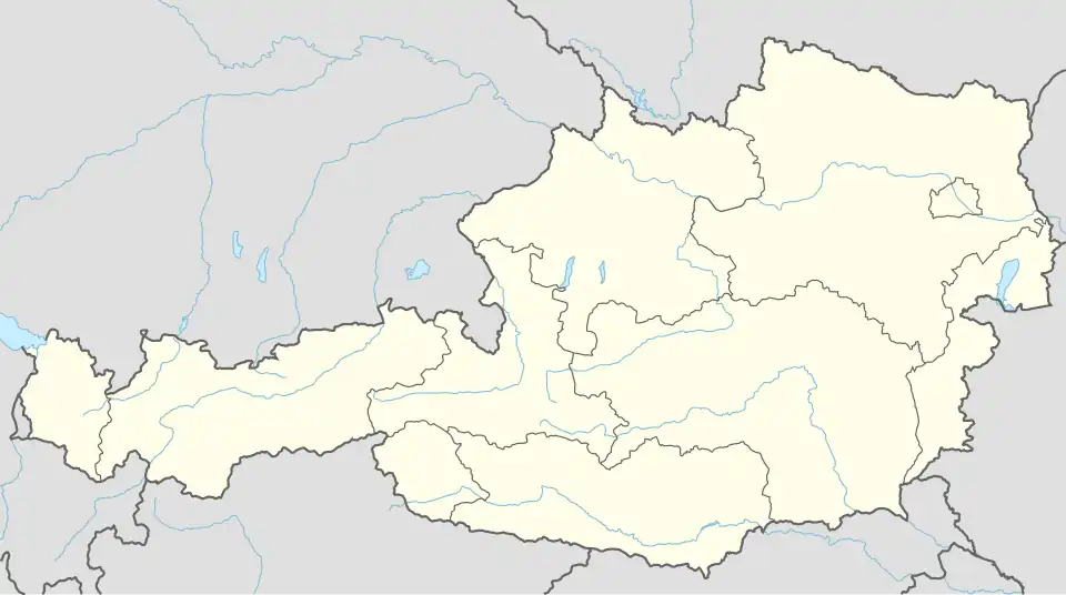 Wolfsberg im Schwarzautal Location within Austria | |
| Coordinates: 46°49′48″N 15°40′48″E / 46.83000°N 15.68000°E | |
| Country | Austria |
| State | Styria |
| District | Leibnitz |
| Area | |
• Total | 10.5 km2 (4.1 sq mi) |
| Elevation | 304 m (997 ft) |
| Population (1 January 2016)[1] | |
• Total | 799 |
| • Density | 76/km2 (200/sq mi) |
| Time zone | UTC+1 (CET) |
| • Summer (DST) | UTC+2 (CEST) |
| Postal code | 8421 |
| Area code | 03184 |
| Vehicle registration | LB |
| Website | wolfsberg-online.at |
Wolfsberg im Schwarzautal is a former municipality in the district of Leibnitz in Styria, Austria. Since the 2015 Styria municipal structural reform, it is part of the municipality Schwarzautal.[2]
References