Willeskop
Willeskop | |
|---|---|
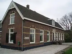 Farm "Welgelegen" in Willeskop | |
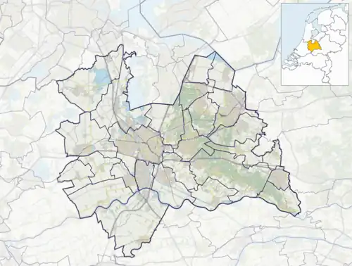 Willeskop Location in the Netherlands 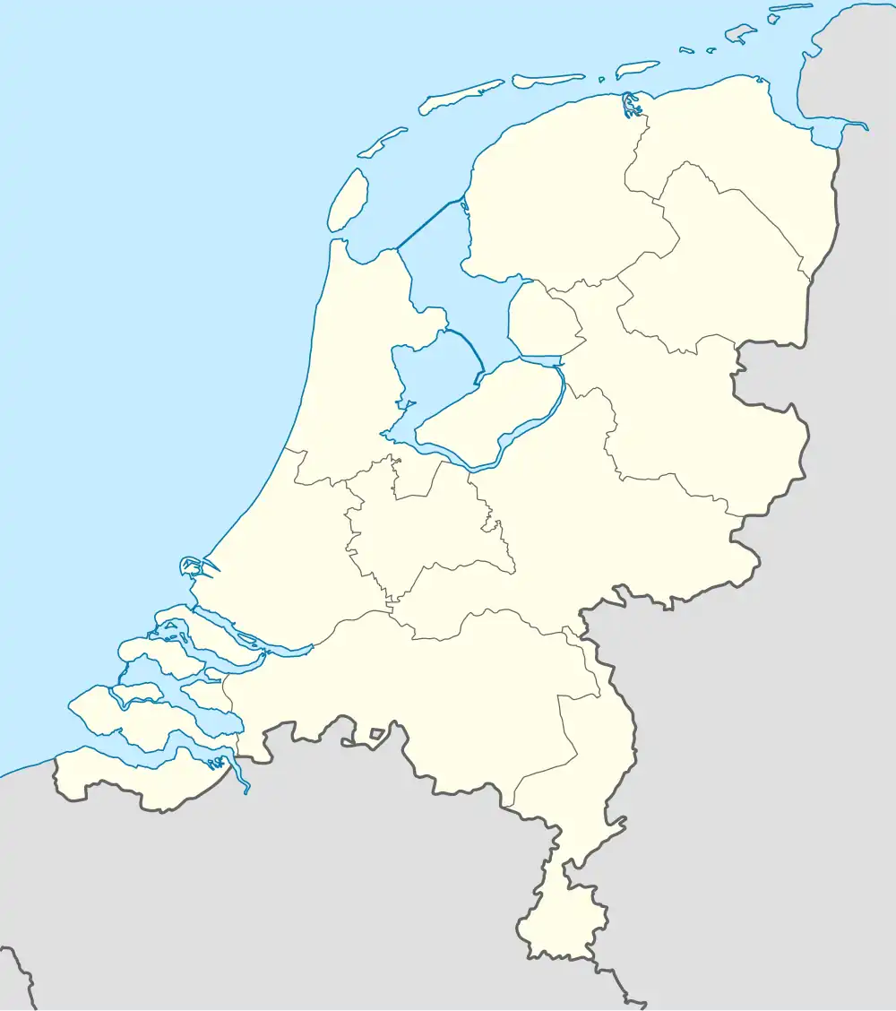 Willeskop Willeskop (Netherlands) | |
| Coordinates: 52°01′N 4°54′E / 52.017°N 4.900°E | |
| Country | Netherlands |
| Province | Utrecht |
| Municipality | Montfoort |
| Area | |
• Total | 1.83 km2 (0.71 sq mi) |
| Population (2021)[1] | |
• Total | 315 |
| • Density | 170/km2 (450/sq mi) |
| Time zone | UTC+1 (CET) |
| • Summer (DST) | UTC+2 (CEST) |
| Postal code | 3417[1] |
| Dialing code | 0348 |
Willeskop is a hamlet in the Dutch province of Utrecht. It is located in the municipality of Montfoort, 2 km east of that city.
Willeskop was a separate municipality between 1818 and 1989, when it was merged with Montfoort.[2] A small part went to Oudewater.[3]
It was first mentioned in 1282 as Wilhelmescoop, and means "(peat) concession of Wilhelm".[4] The postal authorities have placed it under Linschoten.[5] It does not have place name signs. In 1840, it was home to 313 people.[3]
Gallery
-
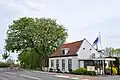 Restaurant
 -
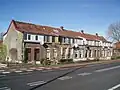 Workman's houses
 -
 Cows under a tree
 -
 Nature area
References
- ^ a b c "Kerncijfers wijken en buurten 2021". Central Bureau of Statistics. Retrieved 28 March 2022.
- ^ Ad van der Meer and Onno Boonstra, Repertorium van Nederlandse gemeenten, KNAW, 2011.
- ^ a b "Willeskop". Plaatsengids (in Dutch). Retrieved 28 March 2022.
- ^ "Willeskop - (geografische naam)". Etymologiebank (in Dutch). Retrieved 28 March 2022.
- ^ "Postcode 3461 in Linschoten". Postcode bij adres (in Dutch). Retrieved 28 March 2022.
External links
 Media related to Willeskop at Wikimedia Commons