Wilkin River
| Wilkin River | |
|---|---|
 Wilkin River close to its confluence with Makarora River | |
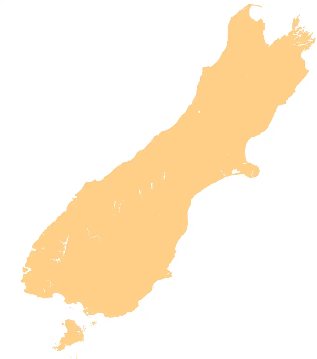
Route of the Wilkin River | |
 Mouth of the Wilkin River .png) Wilkin River (New Zealand) | |
| Native name | Ōtānenui (Māori) |
| Location | |
| Country | New Zealand |
| Region | Otago |
| District | Queenstown-Lakes |
| Physical characteristics | |
| Source | Wilkin River North Branch |
| • coordinates | 44°12′55″S 168°55′17″E / 44.2152°S 168.9215°E |
| 2nd source | Wilkin River South Branch |
| • location | Rabbit Pass |
| • coordinates | 44°18′44″S 168°50′57″E / 44.3123°S 168.8491°E |
| Mouth | |
• location | Makarora River |
• coordinates | 44°16′10″S 169°10′53″E / 44.2695°S 169.1813°E |
| Basin features | |
| Progression | Wilkin River → Makarora River → Lake Wānaka → Clutha River / Mata-Au → Pacific Ocean |
| Tributaries | |
| • left | Wonderland Stream, Newland Stream, Siberia Stream |
The Wilkin River is a river in the Otago region of New Zealand, flowing into Lake Wānaka. Makarora is a natural conserved place. It has a wide variety of natural features, from iced mountains to rivers and pristine rainforest. Local tourism offer helicopter and jet boat rides along the Wilkin River.[1]
See also
References
- ^ "Wilkin River Jets". Retrieved 6 December 2013.
"Place name detail: Wilkin River". New Zealand Gazetteer. Land Information New Zealand. Retrieved 12 July 2009.