Washington County History & Landmarks Foundation
 | |
| Formation | 1973[1] |
|---|---|
| Type | Non-profit[1] |
| Purpose | Encourage the preservation of buildings, landmarks and structures in Washington County, Pennsylvania[1] |
| Location |
|
Region served | Washington County, Pennsylvania |
Washington County History & Landmarks Foundation is a non-profit educational institution in Washington, Pennsylvania, United States. Its purpose is to encourage and assist the preservation of historic structures in Washington County, Pennsylvania.[1] The foundation operates its own landmark certification process, as well as working with the National Park Service to document and place landmarks on the National Register of Historic Places.[1] It also offers advice and assistance for historic building owners who wish to preserve their facilities.[1] Since its inception, the foundation has been successful in helping many historic building owners in the preservation of their structures.[1]
For a number of years, the foundation has been in conflict with Washington & Jefferson College. In 1968, the college's campus master plan called for the expansion of the campus eastward towards Wade Avenue in East Washington Borough, a plan that placed them in conflict with the residents of that area.[2] For the next 30 years, the college maintained a policy of purchasing any homes in that area as they became available.[3] In response, the Washington County History and Landmarks Foundation was able to get the East Washington Historic District, a collection of 120 Victorian homes in that area, added to the National Register of Historic Places in 1984.[4] The college opposed the designation but did not object in time to prevent it.[5] According to College President Howard J. Burnett, the district "was structured to prevent expansion of the college."[5]
In the 1990s, the hard feelings between some residents and the college came to a head, with residents trying to have the Borough enact anti-demolition laws to block expansion and a meeting of the Washington County History and Landmarks Foundation deteriorated into a shouting match between residents and college officials.[2] Burnett maintained that the expansion was beneficial to the community and that the opposition came from a small and non-representative group on Wade Avenue.[6] He also questioned the historic value of many of the designated homes, pointing out that many of them were in very poor shape and others were vacant.[6] As of 1995, the college owned about 30 properties listed in the historic district.[4] In the end, efforts to block the demolition of these buildings, including several which were part of the historic district, were unsuccessful.[6][7] Notably, one 140-year-old farm house at 137 South Wade Street, which the college had acquired in 1977 after being vacant for several years, was moved to a new location outside of town.[4]
In 2009, the foundation sponsored an architectural survey of buildings in the African American areas of Washington.[8]
Bridges
| Landmark name | Image | Architect/builder/ engineer/decorator |
Address | Location | Status |
| Bailey Covered Bridge | 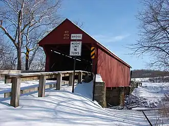
|
Spans Ten Mile Creek | Amity | Destroyed by fire in 1994; reconstructed | |
| Scott Brownlee Covered Bridge | 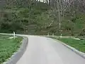
|
TR 414 over Templeton Fork of Wheeling Creek | East Finley Township | ||
| Brownsville Bridge | 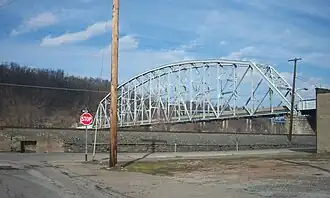
|
LR 268 Over Monongahela River, between West Brownsville in Washington County and Brownsville in Fayette County | West Brownsville | ||
| Charleroi-Monessen Bridge | 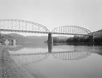
|
LR 247 over Monongahela River, between Charleroi in Washington County and Monessen in Westmoreland County | Charleroi | ||
| Crawford Covered Bridge | 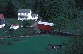
|
TR 307, spanning Robinson Fork of Wheeling Creek | West Finley Township | ||
| Danley Covered Bridge | 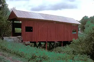
|
On TR 379, spanning Robinson Fork of Wheeling Creek | West Finley Township | ||
| Horn Davis Overholtzer Bridge | 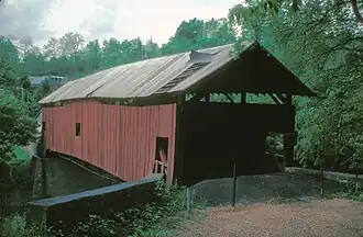
|
TR 838 over Ten Mile Creek | West Bethlehem Township | Collapsed on March 20, 1994 | |
| Day Covered Bridge | _PA.jpg)
|
On TR 339 over Short Creek, Prosperity | Morris Township | ||
| Ebenezer Covered Bridge | 
|
In Mingo Creek Park, spanning Mingo Creek | Nottingham Township | ||
| Erskine Covered Bridge | 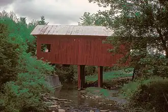
|
TR 314 over Middle Wheeling Creek | West Finley Township | ||
| Henry Covered Bridge | 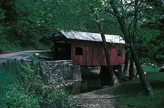
|
Spans Mingo Creek in Mingo Creek County Park | Nottingham Township | ||
| Jackson's Mill Covered Bridge | 
|
Northwest of Burgettstown on TR 853 crossing King's Creek | Hanover Township | ||
| Krepps Covered Bridge | 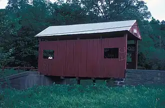
|
Southeast of Cherry Valley on TR 799 over Raccoon Creek | Mount Pleasant Township | ||
| Letherman Covered Bridge | 
|
On TR 449 spanning the South Branch of Pigeon Creek | North Bethlehem Township | ||
| Longdon L. Miller Covered Bridge | 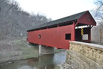
|
TR 414 over Templeton Fork of Wheeling Creek | West Finley Township | ||
| Lyle Covered Bridge | 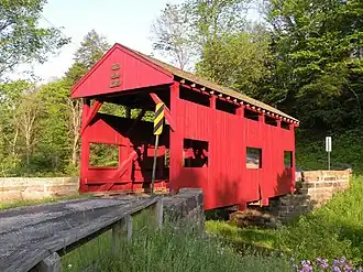
|
North of Raccoon on TR 861 crossing Raccoon Creek | Hanover Township | ||
| Martin's Mill Covered Bridge | 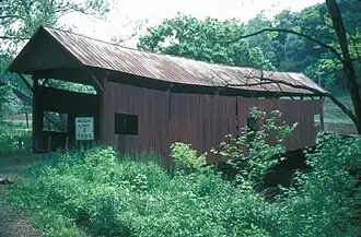
|
West of Marianna, crossing Ten Mile Creek | West Bethlehem Township | Disappeared | |
| Blaney Mays Covered Bridge | 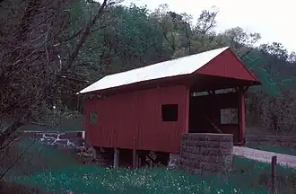
|
TR 423, spanning Middle Wheeling Creek | Donegal Township | ||
| Devil's Den, McClurg Covered Bridge | 
|
Hanover Park | Hanover Township | ||
| Pine Bank Covered Bridge | 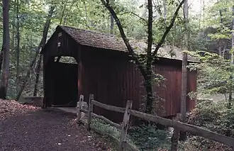
|
Near SR 4018 at Meadowcroft Village, Avella | Cross Creek Township | ||
| Plant's Covered Bridge | 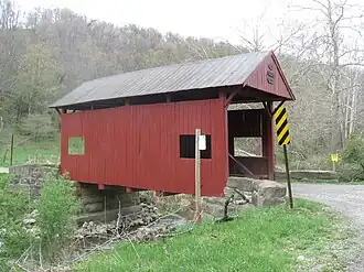
|
TR 408 over Templeton Fork of Wheeling Creek | East Finley Township | ||
| Ralston Freeman Covered Bridge | 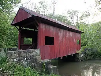
|
on private property, TR 352 over Aunt Clara's Fork of Kings Creek | Hanover Township | ||
| Claysville S Bridge | 
|
6 miles west of Washington on Old National Road (US 40), over Buffalo Creek | Buffalo Township | ||
| Sawhill Covered Bridge | 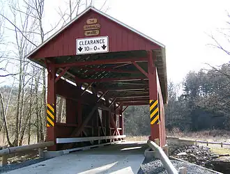
|
TR 426 over Buffalo Creek, SR 221 Taylorstown | Blaine Township | ||
| Sprowl's Covered Bridge | 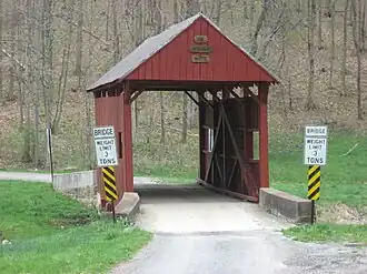
|
TR 450 over Rocky Run | West Finley Township | ||
| Webster-Donora Bridge | 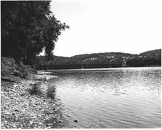
|
SR 143 over the Monongahela River | Donora | ||
| Wilson's Mill Covered Bridge | 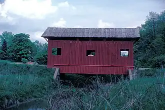
|
Cross Creek County Park | Cross Creek Township | ||
| Cerl Wright Covered Bridge | 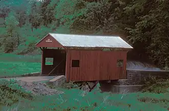
|
TR 802 over the North Branch of Pigeon Creek | Somerset Township | ||
| Wyit Sprowls Covered Bridge | 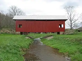
|
TR 360 over Robinson Fork of Wheeling Creek | West Finley Township |
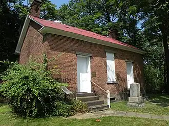
Historic districts
| District name | Image | Location | Municipality |
| Beallsville Historic District | 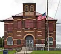
|
National Road, from Oak Alley to West Alley and Sunset Drive to Sargent Alley | Beallsville Borough |
| Cement City Historic District | 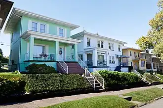
|
Chestnut and Walnut Streets from Modisette to Bertha Avenue and along Ida and Bertha Streets | Donora Borough |
| Centerville Historic District | 
|
Old National Pike spur, roughly from Linton Road to the junction of US 40 and PA 481 | Centerville |
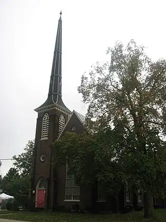
| East Washington Historic District | 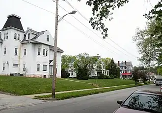
|
Intersected by Beau Street and Wade Avenue, includes North Avenue, Wheeling and Chestnut Streets | East Washington, Pennsylvania |
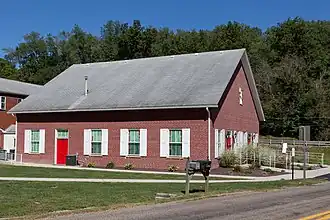
| Marianna Historic District | _Beeson_St_near_71.jpg)
|
Roughly bounded by Ten Mile Creek, Beeson Avenue Hill, 6th and 7th Streets | Marianna, Pennsylvania |
| Scenery Hill Historic District | 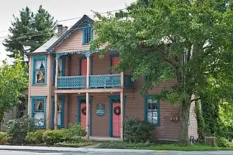
|
National Road East (US 40), between Scenery Hill Cemetery and Kinder Road | North Bethlehem Township |
| Taylorstown Historic District | _26_Main_St.jpg)
|
Main Street, Taylorstown | Blaine Township |
| West Alexander Historic District | 
|
Main Street, North Liberty to Mechanic Streets | West Alexander |
| West Middletown Historic District | 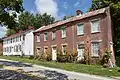
|
Main Street (Route 844) running east–west | West Middleton |
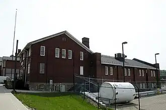
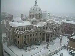
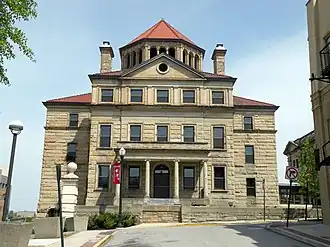
Public landmarks
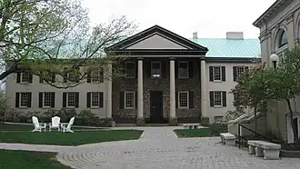
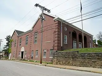
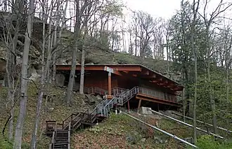

.jpg)
Residential landmarks and farmsteads
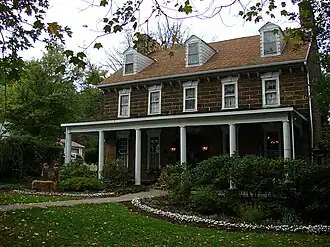
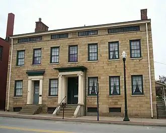
| Property name | Image | Location | Municipality |
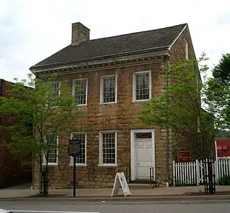
| Edward G. Acheson House | 
|
908 Main Street, Monongahela | Monongahela |
| Samuel Brownlee House | 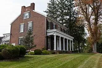
|
SR 519 in village of Wylandville | South Strabane Township |
| Caldwell Tavern | 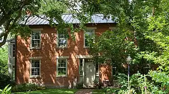
|
Junction of US 40 and TR 474 east of Claysville | Buffalo Township |
| Dager-Wonsettler Farmstead | 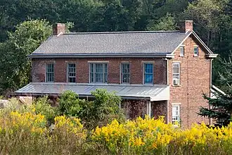
|
On Old National Road (now SR 40) near Glyde | Amwell Township |
| Margaret Derrow House | 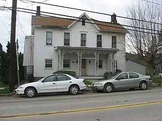
|
West Main Street, Claysville | Donegal Township |
| Doak-Little House | 
|
US 40 | South Strabane Township |
| Joseph Dorsey House | 
|
113 Cherry Avenue, Denbeau Heights (Denbo Heights) | Centerville Borough |
| Dusmal House | 
|
East of Gastonville off Gilmore Road | Union Township |
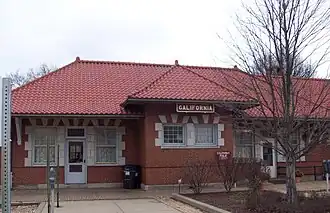
| Molly Fleming House | 
|
616 Wood Street | California |
| Philip Friend House | 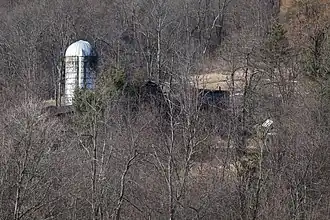
|
105 Little Daniels Run Road | North Bethlehem Township |
| Harrison House | _Lot.jpg)
|
Old National Pike, US 40, one mile east of Centerville | Centerville Borough |
| Huffman Distillery and Chopping Mill | 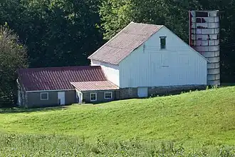
|
LR 62155, 2 miles North of Junction with PA 917 | Somerset Township |
| Jennings-Gallagher House | 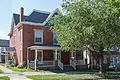
|
Wood Street, California | California |
| Kinder's Mill | 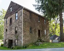
|
LR 62194 at Piper Road, Deemston | Deemston |
| Moses Little Tavern | 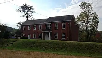
|
National Pike (US 40), 3/4 miles east of I-79 interchange | Amwell Township |
| David Longwell House | 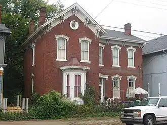
|
West Main Street, Monongahela City | Monongahela |
| Malden Inn | 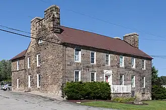
|
Off US 40 East, on Malden Place, spur of Old National Road | Centerville Borough |
| Isaac Manchester House | 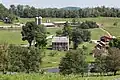
|
2 miles south of Avella on SR 231 | Independence Township |
| Martin Farmstead | 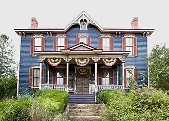
|
SR 136, 2 miles west of Eighty Four | South Strabane Township |
| Dr. Joseph Maurer House | 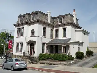
|
97 West Wheeling Street | Washington |
| Montgomery House | 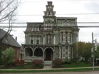
|
West Main Street, Claysville | Donegal Township |
| Thomas Munce House | 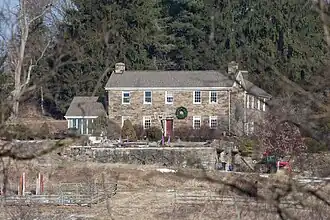
|
SR 136, 3 miles east of Washington | South Strabane Township |
| John H. Nelson House | 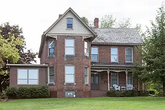
|
104 Colvin Road | Fallowfield Township |
| Robert Parkinson Farm | 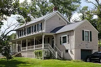
|
SR 18, .4 miles north of Old Concord Village | Morris Township |
| Regester Log House | 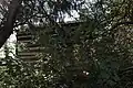
|
Deemston | |
| Ringland Tavern | 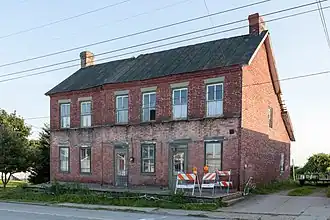
|
On US 40 (Old National Road), Scenery Hill | North Bethlehem Township |
| Roberts House | 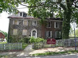
|
225 North Central Avenue | Canonsburg |
| Frank L. Ross Farm | 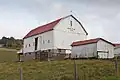
|
SR 519, .3 miles north of US 40 | North Bethlehem Township |
| Sackville House | 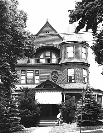
|
309 East Wheeling Street | Washington |
| Stephenson-Campbell House | 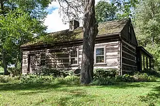
|
On Tomahawk Claim Lane, off Reissing Road | Cecil Township |
| James Thome Farm | 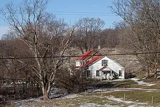
|
213 Linnwood Road | North Strabane Township |
| Ulery Mill | 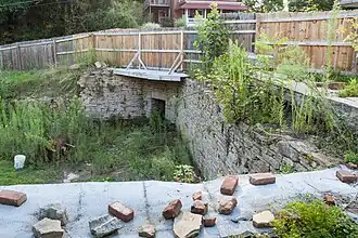
|
LR 62078, in Zollarsville | West Bethlehem Township |
| Welsh-Emery House | 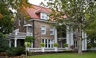
|
114 Emery Road, a spur of the Old National Road | Centerville Borough |
| John White House | 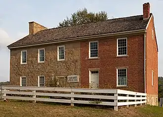
|
2151 North Main Street Ext. | Chartiers Township |
| Levi Wilson Tavern | 
|
On National Road (US 40), 1.5 miles east of S-Bridge | Buffalo Township |
See also
- National Register of Historic Places listings in Washington County, Pennsylvania
- List of Pennsylvania state historical markers in Washington County
References
- ^ a b c d e f g "Washington County History & Landmarks Foundation". Washington County History & Landmarks Foundation. 2008.
- ^ a b Templeton, David (August 14, 1994). "Group Seeks Anti-Demolition Law". Pittsburgh Post-Gazette.
- ^ Taylor, Davison; Patti Murphy (March 31, 1991). "W&J's Building Plans Putting Residents on Guard". The Pittsburgh Press.
- ^ a b c Fitch, Antoinnette (July 2, 1995). "Old House Starts Move Across Town/Study Washington Home from 1850s Disassembled and Braced for Its Move to New Site". Pittsburgh Post-Gazette.
- ^ a b Templeton, David (1994-07-24). "W&J President Answers Critics of Expansion". Pittsburgh Post-Gazette.
- ^ a b c Robertson, Bob (August 21, 1994). "E. Washington Demolition Delayed". Pittsburgh Post-Gazette.
- ^ Robertson, Bob (July 3, 1994). "Council Reconsiders W&J Demolition Permit". Pittsburgh Post-Gazette. p. W2.
- ^ "The Black Experience". Observer-Reporter. Nov 15, 2009.