Vysoká pri Morave
Vysoká pri Morave
Nagymagasfalu | |
|---|---|
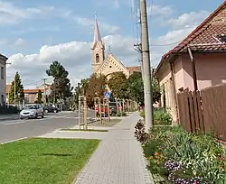 St. Andrew's Church | |
 Flag  Coat of arms | |
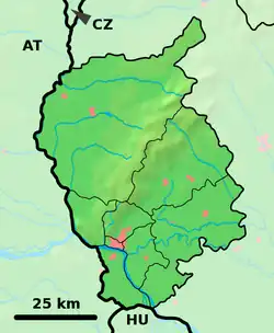 Vysoká pri Morave Location of Vysoká pri Morave in the Bratislava Region 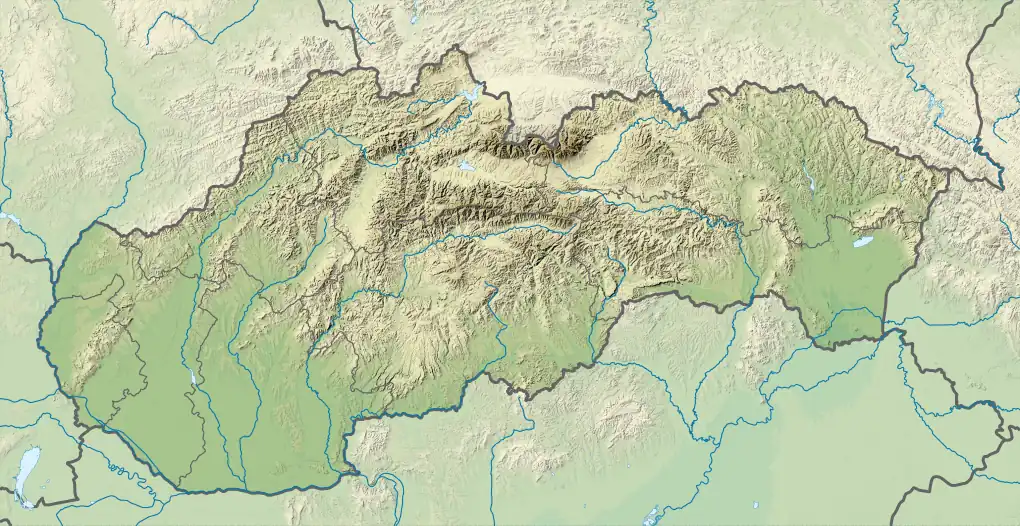 Vysoká pri Morave Location of Vysoká pri Morave in Slovakia | |
| Coordinates: 48°20′N 16°55′E / 48.33°N 16.92°E | |
| Country | |
| Region | |
| District | Malacky District |
| First mentioned | 1271 |
| Area | |
• Total | 33.62 km2 (12.98 sq mi) |
| Elevation | 144 m (472 ft) |
| Population (2021)[3] | |
• Total | 2,230 |
| Time zone | UTC+1 (CET) |
| • Summer (DST) | UTC+2 (CEST) |
| Postal code | 900 66[2] |
| Area code | +421 2[2] |
| Car plate | MA |
| Website | www |
Vysoká pri Morave (German: Hochstädten / Hochstetten; Hungarian: Nagymagasfalu) is a village north of Bratislava, the capital city of Slovakia. It is situated in the Malacky District, Bratislava Region on the border to Austria.
References
- ^ "Hustota obyvateľstva - obce [om7014rr_ukaz: Rozloha (Štvorcový meter)]". www.statistics.sk (in Slovak). Statistical Office of the Slovak Republic. 2022-03-31. Retrieved 2022-03-31.
- ^ a b c "Základná charakteristika". www.statistics.sk (in Slovak). Statistical Office of the Slovak Republic. 2015-04-17. Retrieved 2022-03-31.
- ^ "Počet obyvateľov podľa pohlavia - obce (ročne)". www.statistics.sk (in Slovak). Statistical Office of the Slovak Republic. 2022-03-31. Retrieved 2022-03-31.
External links
![]() Media related to Vysoká pri Morave at Wikimedia Commons
Media related to Vysoká pri Morave at Wikimedia Commons
- Official page
- https://web.archive.org/web/20070513023228/http://www.statistics.sk/mosmis/eng/run.html
Municipalities of Malacky District | ||
|---|---|---|