Vimeiro
Vimeiro | |
|---|---|
 Coat of arms | |
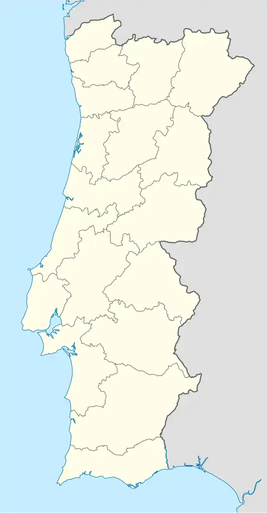 Vimeiro Location in Portugal | |
| Coordinates: 39°10′41″N 9°19′05″W / 39.178°N 9.318°W | |
| Country | |
| Region | Oeste e Vale do Tejo |
| Intermunic. comm. | Oeste |
| District | Lisbon |
| Municipality | Lourinhã |
| Area | |
• Total | 7.08 km2 (2.73 sq mi) |
| Population (2011) | |
• Total | 1,470 |
| • Density | 210/km2 (540/sq mi) |
| Time zone | UTC+00:00 (WET) |
| • Summer (DST) | UTC+01:00 (WEST) |
Vimeiro (Portuguese pronunciation: [viˈmɐjɾu]) is a freguesia (civil parish) in the municipality of Lourinhã in west-central Portugal. It is in the District of Lisboa. The population in 2011 was 1,470,[1] in an area of 7.08 km².[2]
Vimeiro was the site of the 1808 Battle of Vimeiro, where British forces under the Duke of Wellington defeated the French, ending the first French invasion of Portugal. A monument was dedicated in Vimeiro on August 21, 1908, the 100th anniversary of the battle, by Manuel II of Portugal.
References
- ^ Instituto Nacional de Estatística (INE), Census 2011 results according to the 2013 administrative division of Portugal
- ^ "Áreas das freguesias, concelhos, distritos e país". Archived from the original on 2018-11-05. Retrieved 2018-11-05.
External links