Villa Licenciado Jesús Terán
Villa Licenciado Jesús Terán | |
|---|---|
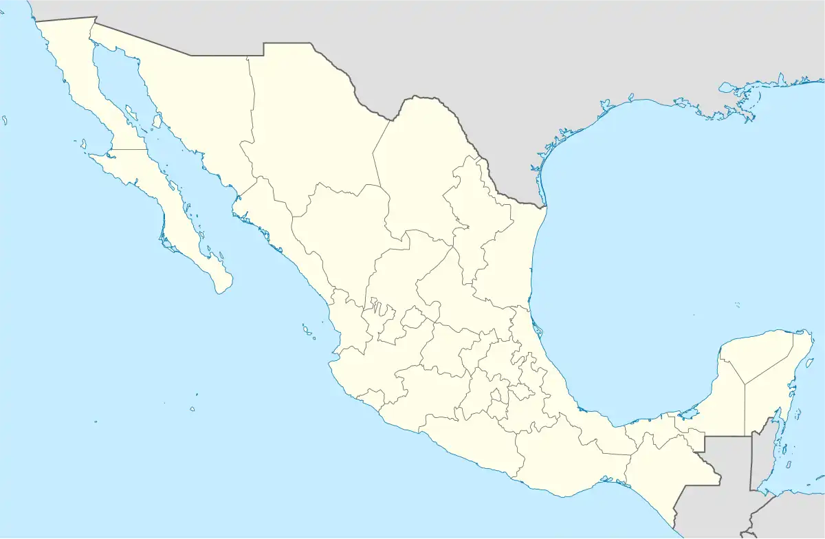 Villa Licenciado Jesús Terán Location in Mexico | |
| Coordinates: 21°49′25″N 102°11′15″W / 21.82361°N 102.18750°W | |
| Country | |
| State | |
| Municipality | Aguascalientes |
| Population (2010) | |
• Total | 4,481 |
| Time zone | UTC−6 (CST) |
| • Summer (DST) | UTC−5 (CDT) |
Villa Licenciado Jesús Terán, known among its inhabitants as Calvillito, is a locale in the state of Aguascalientes. It is located 8 miles southeast of the city of Aguascalientes and has a population of 4,481.[1]
Climate
| Climate data for Villa Licenciado Jesús Terán (1991–2020) | |||||||||||||
|---|---|---|---|---|---|---|---|---|---|---|---|---|---|
| Month | Jan | Feb | Mar | Apr | May | Jun | Jul | Aug | Sep | Oct | Nov | Dec | Year |
| Record high °C (°F) | 29 (84) |
32 (90) |
35 (95) |
35 (95) |
39 (102) |
38 (100) |
35 (95) |
34 (93) |
35 (95) |
33 (91) |
32 (90) |
33 (91) |
39 (102) |
| Mean daily maximum °C (°F) | 21.7 (71.1) |
23.7 (74.7) |
26.4 (79.5) |
28.8 (83.8) |
30.5 (86.9) |
28.9 (84.0) |
26.4 (79.5) |
26.5 (79.7) |
25.7 (78.3) |
25.0 (77.0) |
23.7 (74.7) |
22.3 (72.1) |
25.8 (78.4) |
| Daily mean °C (°F) | 11.2 (52.2) |
12.7 (54.9) |
15.0 (59.0) |
17.4 (63.3) |
19.9 (67.8) |
20.6 (69.1) |
19.3 (66.7) |
19.0 (66.2) |
18.3 (64.9) |
16.1 (61.0) |
13.3 (55.9) |
11.6 (52.9) |
16.2 (61.2) |
| Mean daily minimum °C (°F) | 0.6 (33.1) |
1.7 (35.1) |
3.6 (38.5) |
6.1 (43.0) |
9.2 (48.6) |
12.3 (54.1) |
12.1 (53.8) |
11.5 (52.7) |
10.9 (51.6) |
7.1 (44.8) |
3.0 (37.4) |
0.9 (33.6) |
6.6 (43.9) |
| Record low °C (°F) | −9 (16) |
−9 (16) |
−9 (16) |
−6 (21) |
−1 (30) |
4 (39) |
4 (39) |
5 (41) |
0 (32) |
−3 (27) |
−8 (18) |
−10 (14) |
−9 (16) |
| Average precipitation mm (inches) | 17.0 (0.67) |
12.2 (0.48) |
6.8 (0.27) |
5.8 (0.23) |
23.0 (0.91) |
98.7 (3.89) |
133.0 (5.24) |
119.3 (4.70) |
100.2 (3.94) |
35.8 (1.41) |
10.6 (0.42) |
9.5 (0.37) |
571.9 (22.52) |
| Source: Servicio Meteorológico Nacional[2][3] | |||||||||||||
External links
References
- ^ "Aguascalientes". Catálogo de Localidades. Secretaría de Desarrollo Social (SEDESOL). Archived from the original on 17 October 2015. Retrieved 5 August 2018.
- ^ "Estado de Aguasalientes-Estacion: Calvillito". Normales Climatologicas 1991–2020 (in Spanish). Servicio Meteorológico Nacional. Retrieved 15 February 2025.
- ^ "Extreme Temperatures and Precipitation for Calvillito" (in Spanish). Servicio Meteorológico Nacional. Retrieved 10 November 2021.