Verclause
Verclause | |
|---|---|
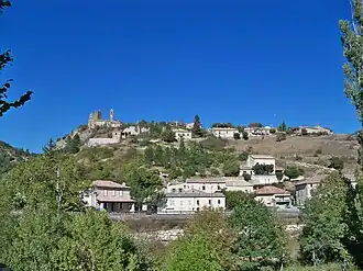 A general view of Verclause | |
Location of Verclause | |
 Verclause  Verclause | |
| Coordinates: 44°22′52″N 5°25′41″E / 44.381°N 5.428°E | |
| Country | France |
| Region | Auvergne-Rhône-Alpes |
| Department | Drôme |
| Arrondissement | Nyons |
| Canton | Nyons et Baronnies |
| Government | |
| • Mayor (2020–2026) | Claude Bas[1] |
Area 1 | 26.14 km2 (10.09 sq mi) |
| Population (2022)[2] | 67 |
| • Density | 2.6/km2 (6.6/sq mi) |
| Time zone | UTC+01:00 (CET) |
| • Summer (DST) | UTC+02:00 (CEST) |
| INSEE/Postal code | 26369 /26510 |
| Elevation | 474–1,360 m (1,555–4,462 ft) (avg. 525 m or 1,722 ft) |
| 1 French Land Register data, which excludes lakes, ponds, glaciers > 1 km2 (0.386 sq mi or 247 acres) and river estuaries. | |
Verclause (French pronunciation: [vɛʁkloz]; Vivaro-Alpine: Verclausa) is a commune in the Drôme department in southeastern France.
Population
| Year | Pop. | ±% p.a. |
|---|---|---|
| 1968 | 68 | — |
| 1975 | 91 | +4.25% |
| 1982 | 68 | −4.08% |
| 1990 | 61 | −1.35% |
| 1999 | 84 | +3.62% |
| 2009 | 74 | −1.26% |
| 2014 | 64 | −2.86% |
| 2020 | 61 | −0.80% |
| Source: INSEE[3] | ||
See also
References
- ^ "Répertoire national des élus: les maires". data.gouv.fr, Plateforme ouverte des données publiques françaises (in French). 2 December 2020.
- ^ "Populations de référence 2022" (in French). The National Institute of Statistics and Economic Studies. 19 December 2024.
- ^ Population en historique depuis 1968, INSEE
Wikimedia Commons has media related to Verclause.