Vansickle, Ontario
Vansickle | |
|---|---|
Dispersed rural community | |
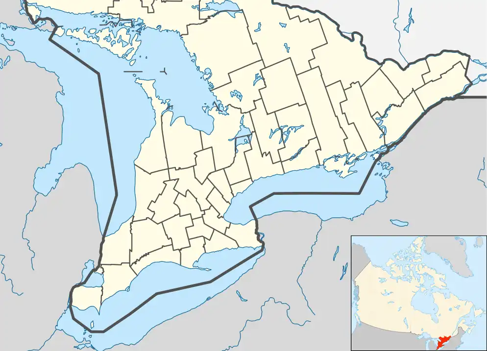 Vansickle Location in Southern Ontario | |
| Coordinates: 44°37′01″N 77°49′19″W / 44.61694°N 77.82194°W[1] | |
| Country | Canada |
| Province | Ontario |
| County | Peterborough |
| Municipality | Havelock-Belmont-Methuen |
| Elevation | 260 m (850 ft) |
| Time zone | UTC-5 (Eastern Time Zone) |
| • Summer (DST) | UTC-4 (Eastern Time Zone) |
| Postal code | K0L 1Z0 |
| Area codes | 705, 249 |
Vansickle is a dispersed rural community and unincorporated place in the municipality of Havelock-Belmont-Methuen, Peterborough County in Central Ontario, Canada.[1][3][4][5][6] It lies just west of the Crowe River on the border with the township of Marmora and Lake in Hastings County.[3][6]
References
- ^ a b "Vansickle". Geographical Names Data Base. Natural Resources Canada. Retrieved 2010-08-03. (community)
- ^ Elevation taken from Google Maps at coordinates. Accessed 2018-08-03.
- ^ a b "CLAIMaps IV". Ontario Ministry of Northern Development and Mines. 2016. Retrieved 2018-08-03.
- ^ "Toporama". Atlas of Canada. Natural Resources Canada. Retrieved 2018-08-03.
- ^ Map 6 (PDF) (Map). 1 : 700,000. Official road map of Ontario. Ministry of Transportation of Ontario. 2010-01-01. Retrieved 2018-08-03.
- ^ a b Restructured municipalities - Ontario map #5 (Map). Restructuring Maps of Ontario. Ontario Ministry of Municipal Affairs and Housing. 2006. Archived from the original on 2019-06-16. Retrieved 2018-08-03.