Trout Valley, New Mexico
Trout Valley, New Mexico | |
|---|---|
 Trout Valley  Trout Valley | |
| Coordinates: 33°02′10″N 108°11′21″W / 33.03611°N 108.18917°W | |
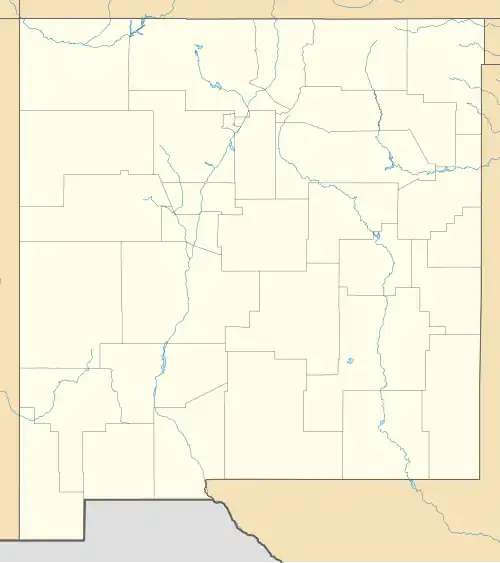
| Country | United States |
| State | New Mexico |
| County | Grant |
| Area | |
• Total | 0.18 sq mi (0.47 km2) |
| • Land | 0.18 sq mi (0.47 km2) |
| • Water | 0.00 sq mi (0.00 km2) |
| Elevation | 5,919 ft (1,804 m) |
| Population | |
• Total | 7 |
| • Density | 38.46/sq mi (14.83/km2) |
| Time zone | UTC-7 (Mountain (MST)) |
| • Summer (DST) | UTC-6 (MDT) |
| Area code | 575 |
| GNIS feature ID | 2584226[2] |
Trout Valley is a census-designated place in Grant County, New Mexico, United States. Its population was 16 as of the 2010 census.[4] New Mexico State Road 35 passes through the community.
Geography
According to the U.S. Census Bureau, the community has an area of 0.182 square miles (0.47 km2), all land.[4]
Demographics
| Census | Pop. | Note | %± |
|---|---|---|---|
| 2020 | 7 | — | |
| U.S. Decennial Census[5][3] | |||
References
- ^ "ArcGIS REST Services Directory". United States Census Bureau. Retrieved October 12, 2022.
- ^ a b U.S. Geological Survey Geographic Names Information System: Trout Valley, New Mexico
- ^ a b "Census Population API". United States Census Bureau. Retrieved October 12, 2022.
- ^ a b "2010 Census Gazetteer Files - Places: New Mexico". U.S. Census Bureau. Archived from the original on July 14, 2014. Retrieved August 22, 2014.
- ^ "Census of Population and Housing". Census.gov. Retrieved June 4, 2016.
Municipalities and communities of Grant County, New Mexico, United States | ||
|---|---|---|
| City | 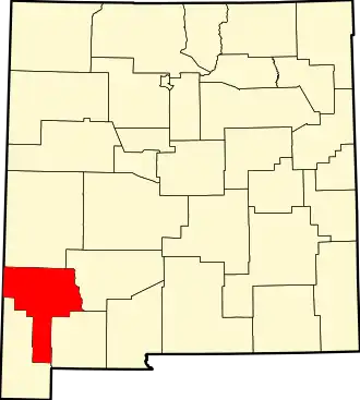 | |
| Towns | ||
| Village | ||
| CDPs | ||
| Other communities | ||
| Ghost towns | ||