Triebendorf
Triebendorf | |
|---|---|
.JPG) Island in the Mur River at Triebendorf | |
 Coat of arms | |
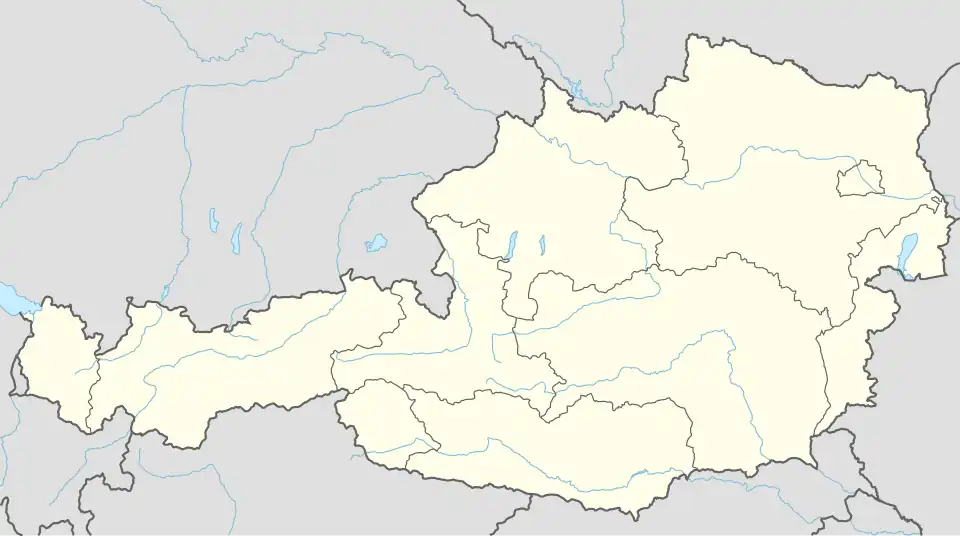 Triebendorf Location within Austria | |
| Coordinates: 47°07′00″N 14°14′00″E / 47.11667°N 14.23333°E | |
| Country | Austria |
| State | Styria |
| District | Murau |
| Area | |
• Total | 8.52 km2 (3.29 sq mi) |
| Elevation | 824 m (2,703 ft) |
| Population (1 January 2016)[1] | |
• Total | 134 |
| • Density | 16/km2 (41/sq mi) |
| Time zone | UTC+1 (CET) |
| • Summer (DST) | UTC+2 (CEST) |
| Postal code | 8850, 8842 |
| Area code | 03588 |
| Vehicle registration | MU |
| Website | www.triebendorf. steiermark.at |
Triebendorf is a former municipality in the district of Murau in the Austrian state of Styria. Since the 2015 Styria municipal structural reform, it is part of the municipality Murau.[2]
Geography
Triebendorf lies about 6 km east of Murau.
References