Tour Sallière
| Tour Sallière | |
|---|---|
 | |
| Highest point | |
| Elevation | 3,220 m (10,560 ft) |
| Prominence | 726 m (2,382 ft)[1] |
| Parent peak | Dents du Midi (Haute Cime) |
| Isolation | 3.8 km (2.4 mi)[2] |
| Listing | Alpine mountains above 3000 m |
| Coordinates | 46°7′36″N 6°55′28.2″E / 46.12667°N 6.924500°E |
| Geography | |
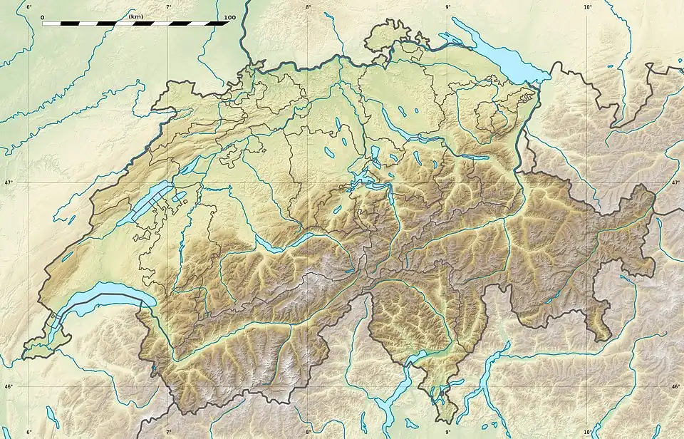 Tour Sallière Location in Switzerland | |
Main peaks in Chablais Alps Mouse over (or touch) gives more detail of peaks. Location in Switzerland | |
| Location | Valais, Switzerland |
| Parent range | Chablais Alps |
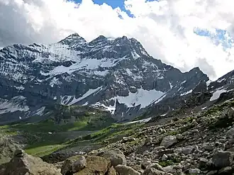
The Tour Sallière (French pronunciation: [tuʁ saljɛʁ]) is a mountain of the Chablais Alps, that is overlooking the lake of Salanfe in the Swiss canton of Valais.
References
- ^ Retrieved from the Swisstopo topographic maps. The key col is the Col de Susanfe (2,494 m).
- ^ Retrieved from Google Earth. The nearest point of higher elevation is south of the Haute Cime des Dents du Midi.
External links