Thruston, Kentucky
Thruston | |
|---|---|
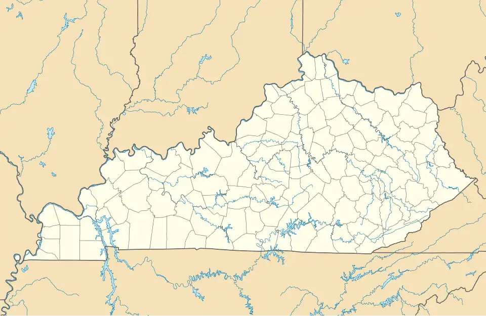 Thruston Location within the state of Kentucky  Thruston Thruston (the United States) | |
| Coordinates: 37°48′04″N 87°01′34″W / 37.801°N 87.026°W | |
| Country | United States |
| State | Kentucky |
| County | Daviess |
| Area | |
• Total | 1.77 sq mi (4.58 km2) |
| • Land | 1.76 sq mi (4.57 km2) |
| • Water | 0.01 sq mi (0.01 km2) |
| Population (2020) | |
• Total | 2,234 |
| • Density | 1,265.72/sq mi (488.75/km2) |
| Time zone | UTC-6 (Central (CST)) |
| • Summer (DST) | UTC-5 (CST) |
| FIPS code | 21-76620 |
| GNIS feature ID | 509210[2] |
| https://edits.nationalmap.gov/apps/gaz-domestic/public/search/names/ae800a26-a9d8-5364-a4cc-ba3ab45e1794/summary | |
Thruston is an unincorporated community located in Daviess County in the U.S. state of Kentucky, northeast of Owensboro.[3]
Demographics
| Census | Pop. | Note | %± |
|---|---|---|---|
| 2020 | 2,234 | — | |
| U.S. Decennial Census[4] | |||
References
- ^ "2020 U.S. Gazetteer Files". United States Census Bureau. Retrieved March 18, 2022.
- ^ U.S. Geological Survey Geographic Names Information System: Thruston
- ^ U.S. Geological Survey Geographic Names Information System: Thruston
- ^ "Census of Population and Housing". Census.gov. Retrieved June 4, 2016.
Municipalities and communities of Daviess County, Kentucky, United States | ||
|---|---|---|
| Cities | 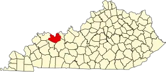 | |
| CDPs | ||
| Other communities | ||
| Footnotes | ‡This populated place also has portions in an adjacent county or counties | |
37°48′04″N 87°01′34″W / 37.801°N 87.026°W