Thathaiyangarpet
Thathaiyangarpet | |
|---|---|
Panchayat Town | |
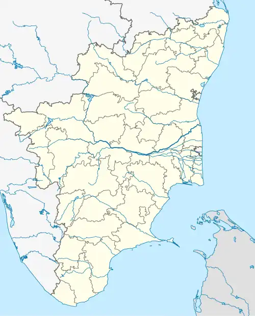 Thathaiyangarpet Location in Tamil Nadu, India | |
| Coordinates: 11°07′23″N 78°27′00″E / 11.123°N 78.450°E | |
| Country | |
| State | Tamil Nadu |
| District | Tiruchirappalli |
| Taluk | Musiri |
| Government | |
| • Type | Town Panchayat |
| • Body | Local government in Tamil Nadu |
| Population (2001) | |
• Total | 12,276 |
| Languages | |
| • Official | Tamil |
| Time zone | UTC+5:30 (IST) |
| Area code | 04326(XXXXXX) |
| Vehicle registration | TN-48 |
Thathaiyangarpet is a panchayat town in Musiri taluk, Tiruchirappalli district in the Indian state of Tamil Nadu.
Demographics
As of 2001 India census,[1] Thathaiyangarpet had a population of 12,276. Males constitute 51% of the population and females 49%. Thathaiyangarpet has an average literacy rate of 70%, higher than the national average of 59.5%: male literacy is 78%, and female literacy is 62%. In Thathaiyangarpet, 9% of the population is under 6 years of age.
References
- ^ "Census of India 2001: Data from the 2001 Census, including cities, villages and towns (Provisional)". Census Commission of India. Archived from the original on 16 June 2004. Retrieved 1 November 2008.