Tees Toh, Arizona
Tees Toh, Arizona | |
|---|---|
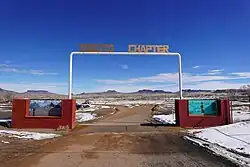 Teesto Chapter House grounds entrance | |
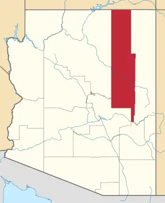
 Location of Tees Toh in Navajo County, Arizona. | |
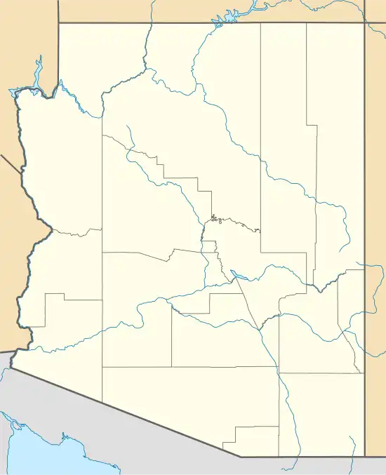 Tees Toh, Arizona Location in the United States | |
| Coordinates: 35°29′10″N 110°23′52″W / 35.48611°N 110.39778°W | |
| Country | United States |
| State | Arizona |
| County | Navajo |
| Area | |
• Total | 17.00 sq mi (44.04 km2) |
| • Land | 17.00 sq mi (44.04 km2) |
| • Water | 0.00 sq mi (0.00 km2) |
| Elevation | 5,916 ft (1,803 m) |
| Population (2020) | |
• Total | 420 |
| • Density | 24.70/sq mi (9.54/km2) |
| Time zone | UTC-7 (MST (no DST)) |
| FIPS code | 04-72630 |
| GNIS feature ID | 2582875[2] |
Tees Toh is a census-designated place in Navajo County, in the U.S. state of Arizona.[2] The population was 448 at the 2010 census.[3]
Demographics
| Census | Pop. | Note | %± |
|---|---|---|---|
| 2010 | 448 | — | |
| 2020 | 420 | −6.2% | |
| U.S. Decennial Census[4] | |||
As of the census[5] of 2010, there were 448 people, 118 households, and 90 families living in the CDP.
Education
The community is not in any school district.[6]
References
- ^ "2020 U.S. Gazetteer Files". United States Census Bureau. Retrieved October 29, 2021.
- ^ a b c U.S. Geological Survey Geographic Names Information System: Tees Toh, Arizona
- ^ "2010 Census Gazetteer Files - Places: New Mexico". U.S. Census Bureau. Retrieved February 26, 2017.
- ^ "Census of Population and Housing". Census.gov. Retrieved June 4, 2016.
- ^ "American FactFinder". United States Census Bureau. Archived from the original on February 13, 2020. Retrieved October 10, 2018.
- ^ "2020 CENSUS - SCHOOL DISTRICT REFERENCE MAP: Navajo County, AZ" (PDF). U.S. Census Bureau. p. 2 (PDF p. 3/4). Retrieved March 18, 2023.