Tandarai
Tandarai | |
|---|---|
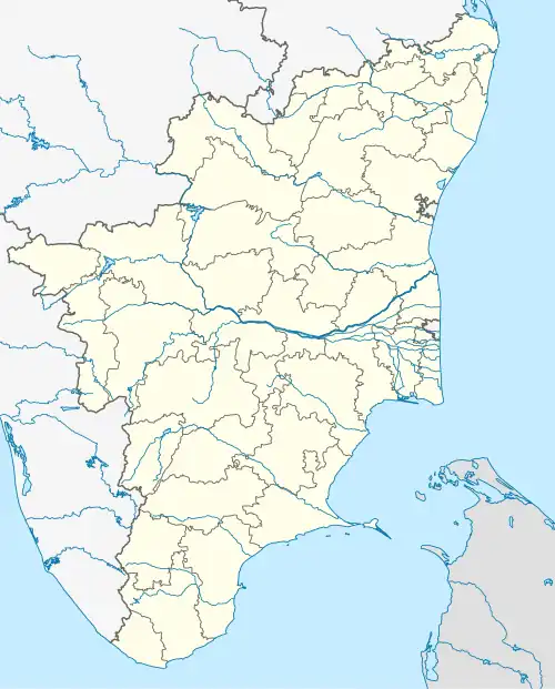 Tandarai Location in Tamil Nadu, India 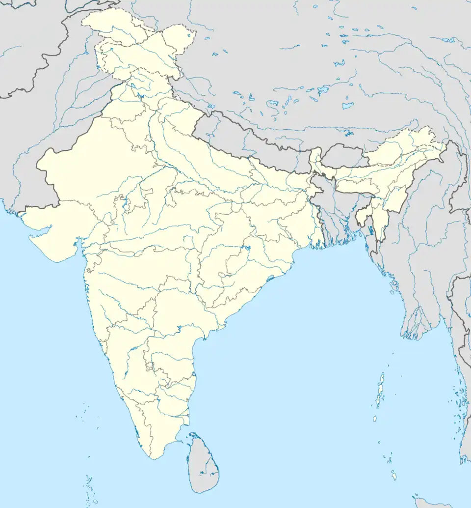 Tandarai Tandarai (India) | |
| Coordinates: 12°06′N 79°12′E / 12.1°N 79.20°E | |
| Country | |
| State | Tamil Nadu |
| District | Tiruvanamalai |
| Elevation | 81 m (266 ft) |
| Population (2001) | |
• Total | 5,201 |
| Languages | |
| • Official | Tamil |
| Time zone | UTC+5:30 (IST) |
Tandarai is a Panchayat town in Tiruvanamalai district, Tamil Nadu India.[1] It is the fourth largest town in Kilpennathur taluk and has one railway station. It lies between Vettavalam and Veraiyur and has a population of 5201 and altitude of 81m.
References
- ^ "Primary Census Abstract Data Tables – India: Final Population Totals". Office of the Registrar General & Census Commissioner, India. Ministry of Home Affairs, Government of India. 2011. Archived from the original on 11 July 2022. Retrieved 27 April 2025.