John Tallis
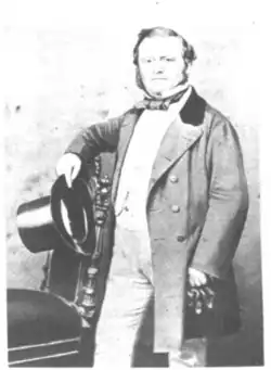
John Tallis (7 November 1817[1] – 3 June 1876) was an English cartographic publisher.[2] His company, John Tallis & Company, published views, maps and atlases in London from roughly 1838 to 1851.
Tallis set up as a publisher with Frederick Tallis in Cripplegate in 1842; the business moved to Smithfield in 1846, and was dissolved in 1849.[2] From 1851 to 1854 Tallis operated as John Tallis & Company.[2] He started the Illustrated News of the World which issued engraved portraits as supplements in a series entitled ‘National Portrait Gallery of eminent personages' in 1858, selling it for £1,370 in 1861; it folded in 1863.[2] The series was subsequently republished in a number of separate volumes.
He lived in New Cross, South East London. His house on New Cross Road is listed as a Building of Special Architectural or Historic Interest, grade II. It has a blue plaque on the wall to signal the event.[3]
Gallery
-
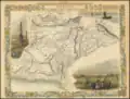
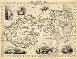 Map of the northern and western part of the Chinese Empire - "Tibet, Mongolia, and Manchuria", from Tallis' atlas of the world (1851)
 -
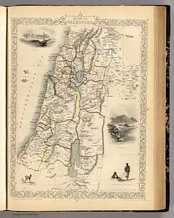 Map of Palestine in 1851, showing the Kaza subdivisions. At the time, the region shown was split between the Sidon Eyalet and the Damascus Eyalet
 -
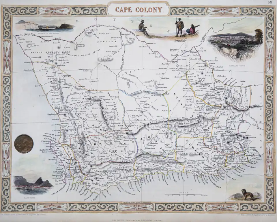 1850 Tallis Map of the Cape Colony
 -
.jpg) 1851 Tallis map of British Possessions in the Mediterranean (engraved by John Rapkin)
1851 Tallis map of British Possessions in the Mediterranean (engraved by John Rapkin) -
 1851 Tallis Map of Mexico
 -
 Map titled 'Kabul, the Punjab, and Balochistan', by John Tallis, London, 1851
 -
 Map of British India, showing principal administrative divisions, London & New York, 1851
References
External links
- John Tallis London Street Views 1838-1840 A collection of sketches of London streets and businesses from the early Victorian era