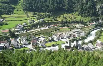
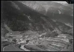
Susch
Susch | |
|---|---|
 | |
 Flag  Coat of arms | |
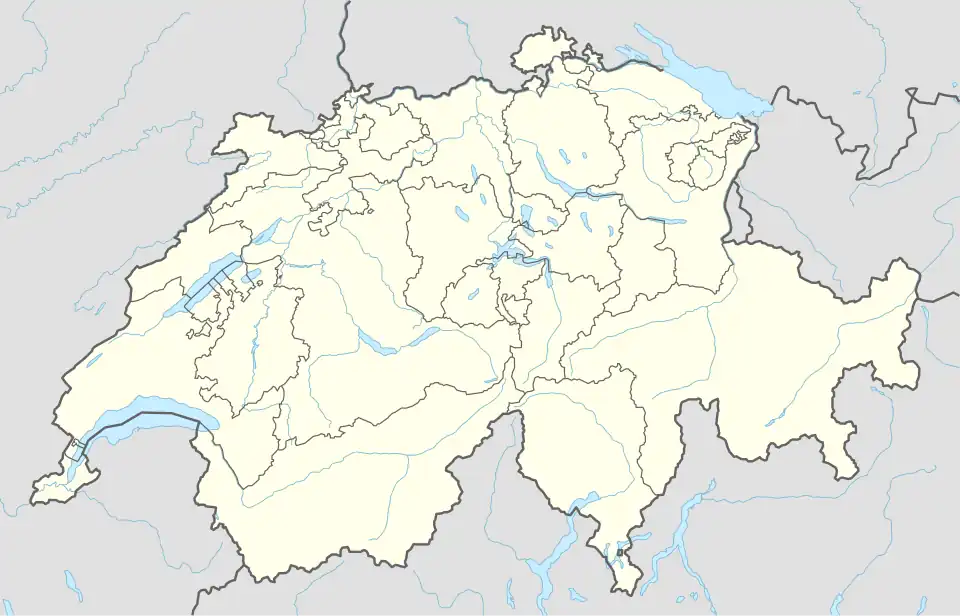
Location of Susch | |
 Susch 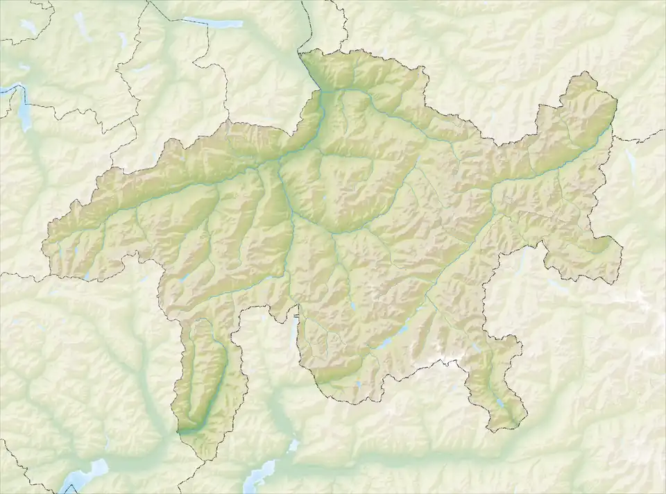 Susch | |
| Coordinates: 46°45′N 10°4′E / 46.750°N 10.067°E | |
| Country | Switzerland |
| Canton | Graubünden |
| District | Inn |
| Area | |
• Total | 93.93 km2 (36.27 sq mi) |
| Elevation | 1,438 m (4,718 ft) |
| Population (Dec 2014) | |
• Total | 206 |
| • Density | 2.2/km2 (5.7/sq mi) |
| Time zone | UTC+01:00 (Central European Time) |
| • Summer (DST) | UTC+02:00 (Central European Summer Time) |
| Postal code(s) | 7542 |
| SFOS number | 3744 |
| ISO 3166 code | CH-GR |
| Surrounded by | Davos, Klosters-Serneus, Lavin, S-chanf, Zernez |
| Website | www SFSO statistics |
Susch (formally Süs) is a village and former municipality in the district of Inn in the Swiss canton of Graubünden. On 1 January 2015 the former municipalities of Lavin and Susch merged into the municipality of Zernez.[1]
The Flüela Pass connects Susch with Davos.
Demographics
Wikimedia Commons has media related to Susch.
Susch had a population of 206 (as of 2014).
See also
References
- ^ Amtliches Gemeindeverzeichnis der Schweiz published by the Swiss Federal Statistical Office (in German) accessed 27 April 2016