Sudith, Kentucky
Sudith, Kentucky | |
|---|---|
 Sudith  Sudith | |
| Coordinates: 38°1′6″N 83°37′56″W / 38.01833°N 83.63222°W | |
| Country | United States |
| State | Kentucky |
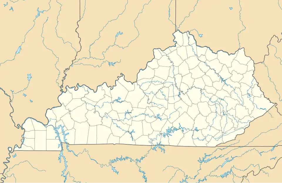
| County | Menifee |
| Elevation | 751 ft (229 m) |
| Time zone | UTC-5 (Eastern (EST)) |
| • Summer (DST) | UTC-4 (EDT) |
| GNIS feature ID | 515774 |
Sudith is an unincorporated community in Menifee County, Kentucky, United States. It lies along Route 36 north of the city of Frenchburg, the county seat of Menifee County.[1] Its elevation is 751 feet (229 m).[2]
Sudith is part of the Mount Sterling Micropolitan Statistical Area.
References
- ^ Rand McNally. The Road Atlas '06. Chicago: Rand McNally, 2006, p. 43.
- ^ U.S. Geological Survey Geographic Names Information System: Sudith, Kentucky, Geographic Names Information System, 1979-09-20. Accessed 2008-01-03.
Municipalities and communities of Menifee County, Kentucky, United States | ||
|---|---|---|
| City |  | |
| Unincorporated communities | ||