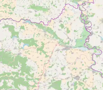
Sudaraž
Sudaraž | |
|---|---|
 Sudaraž 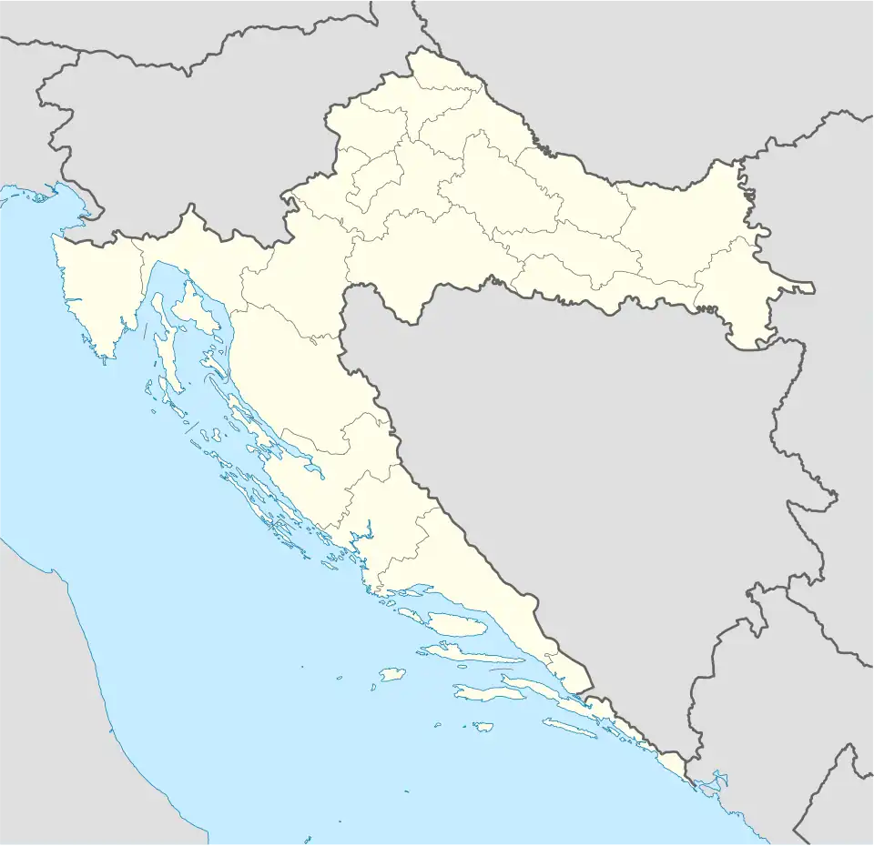 Sudaraž  Sudaraž | |
| Coordinates: 45°44′59″N 18°34′20″E / 45.74972°N 18.57222°E | |
| Country | |
| Region | Baranya |
| County | |
| Municipality | Petlovac |
| Area | |
• Total | 0.08 sq mi (0.2 km2) |
| Elevation | 300 ft (90 m) |
| Population (2021)[2] | |
• Total | 0 |
| • Density | 0.0/sq mi (0.0/km2) |
| Time zone | UTC+1 (CET) |
| • Summer (DST) | UTC+2 (CEST) |
| Postal code | 31300 Beli Manastir |
| Area code | (+385) 31 |
Sudaraž (Hungarian: Szudarázs, Serbian Cyrillic: Судараж) is an uninhabited settlement[3] in the region of Baranja, Croatia. Administratively, it is located in the Petlovac municipality within the Osijek-Baranja County.
History
Sudaraž has existed as part of the settlement from 1880. Its name was Sudaraš from 1880-1991. It was formally established as an independent settlement in 1991, when it was separated from the territory of Beli Manastir.
Population
Population data graph 1857.-2011.[4]
v
| population | 108 | 141 | 270 | 285 | 240 | 261 | ||||||||||
| 1857 | 1869 | 1880 | 1890 | 1900 | 1910 | 1921 | 1931 | 1948 | 1953 | 1961 | 1971 | 1981 | 1991 | 2001 | 2011 |
Sources:Croatian Bureau of Statistics publications
References
- ^ Register of spatial units of the State Geodetic Administration of the Republic of Croatia. Wikidata Q119585703.
- ^ "Population by Age and Sex, by Settlements" (xlsx). Census of Population, Households and Dwellings in 2021. Zagreb: Croatian Bureau of Statistics. 2022.
- ^ "Population by Age and Sex, by Settlements, 2011 Census: Sudaraž". Census of Population, Households and Dwellings 2011. Zagreb: Croatian Bureau of Statistics. December 2012.
- ^ Naselja i stanovništvo Republike Hrvatske 1857.-2001., www.dzs.hr