Stroodorp
Stroodorp | |
|---|---|
Hamlet | |
.jpg) Welcome to Stroodorp | |
 Stroodorp Location in the province of Zeeland in the Netherlands 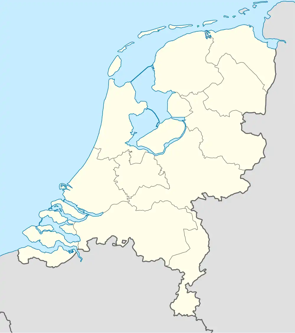 Stroodorp Stroodorp (Netherlands) | |
| Coordinates: 51°33′37″N 3°43′40″E / 51.56028°N 3.72778°E | |
| Country | Netherlands |
| Province | Zeeland |
| Municipality | Noord-Beveland |
| Time zone | UTC+1 (CET) |
| • Summer (DST) | UTC+2 (CEST) |
| Postal code | 4493[1] |
| Dialing code | 113[1] |
Stroodorp is a hamlet in the Dutch province of Zeeland. It is a part of the municipality of Noord-Beveland, and lies about 11 km northeast of Middelburg.[2]
Stroodorp is not a statistical entity,[3] and the postal authorities have placed it under Kamperland.[1] The hamlet consists of about 35 houses, but most are holiday homes, and only 6 are permanently inhabited.[4]
The hamlet was first mentioned in 1847 as Strooijedorp (Het), and means "straw village" after the straw covering of the temporary houses of the people who poldered the land.[5]
References
- ^ a b c "Postcode Stroodorp in Kamperland". Postcode bij adres (in Dutch). Retrieved 20 April 2022.
- ^ ANWB Topografische Atlas Nederland, Topografische Dienst and ANWB, 2005.
- ^ "Kerncijfers wijken en buurten 2021". Central Bureau of Statistics. Retrieved 20 April 2022.
not found
- ^ "Stroodorp". Plaatsengids (in Dutch). Retrieved 20 April 2022.
- ^ "Stroodorp". Etymologiebank (in Dutch). Retrieved 20 April 2022.