Stroe, Gelderland
Stroe | |
|---|---|
 Seed pit building | |
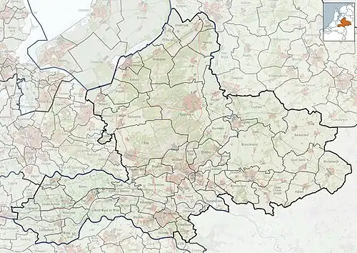 Stroe Location in the province of Gelderland 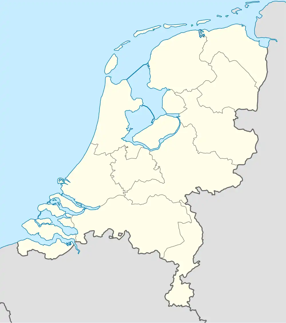 Stroe Stroe (Netherlands) | |
| Coordinates: 52°11′7″N 5°41′28″E / 52.18528°N 5.69111°E | |
| Country | Netherlands |
| Province | Gelderland |
| Municipality | Barneveld |
| Area | |
• Total | 30.65 km2 (11.83 sq mi) |
| Elevation | 19 m (62 ft) |
| Population (2021)[1] | |
• Total | 2,170 |
| • Density | 71/km2 (180/sq mi) |
| Time zone | UTC+1 (CET) |
| • Summer (DST) | UTC+2 (CEST) |
| Postal code | 3776[1] |
| Dialing code | 0342 |
Stroe is a village in the Dutch province of Gelderland. It is located in the municipality of Barneveld, between the towns of Barneveld and Apeldoorn.[3]
Stroe is located on the railway line between these two towns, but the railway station closed in 1944.[4]
History
It was first mentioned in 1296 as "Wlfumdus de Struode", and means "swamp with overgrowth".[5] In 1840, it was home to 122 people. In 1966, a village house was opened in Stroe.[6] In 1951, the army base Wittenberg was constructed near Stroe. In 1978, it was renamed Major-General Koot Barracks after Henri Koot.[7]
Gallery
-
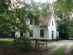
 Farm in Stroe
 -
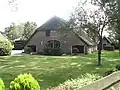
 Former railway station
 -
 Long haired soldiers sleeping outside in protest (1973)
 -
.jpg) Forest near Stroe
Forest near Stroe
References
- ^ a b c "Kerncijfers wijken en buurten 2021". Central Bureau of Statistics. Retrieved 19 March 2022.
- ^ "Postcodetool for 3776LM". Actueel Hoogtebestand Nederland (in Dutch). Het Waterschapshuis. Retrieved 19 March 2022.
- ^ ANWB Topografische Atlas Nederland, Topografische Dienst and ANWB, 2005.
- ^ "Station Stroe". Stationsweb (in Dutch). Retrieved 19 March 2022.
- ^ "Stroe - (geografische naam)". Etymologiebank (in Dutch). Retrieved 19 March 2022.
- ^ "Stroe". Plaatsengids (in Dutch). Retrieved 19 March 2022.
- ^ "De Generaal-majoor Kootkazerne is vijftig jaar later nog altijd in gebruik" (in Dutch). 10 August 2021. Retrieved 19 March 2022.