Straning-Grafenberg
Straning-Grafenberg | |
|---|---|
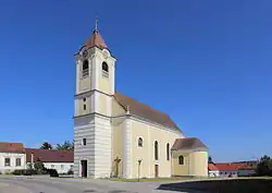 Grafenberg church | |
 Coat of arms | |
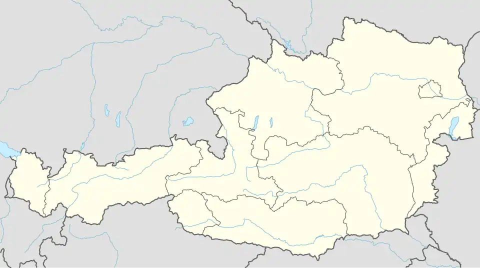 Straning-Grafenberg Location within Austria | |
| Coordinates: 48°37′14″N 15°51′24″E / 48.62056°N 15.85667°E | |
| Country | Austria |
| State | Lower Austria |
| District | Horn |
| Government | |
| • Mayor | Albert Holluger (ÖVP) |
| Area | |
• Total | 26.47 km2 (10.22 sq mi) |
| Elevation | 292 m (958 ft) |
| Population (2018-01-01)[2] | |
• Total | 781 |
| • Density | 30/km2 (76/sq mi) |
| Time zone | UTC+1 (CET) |
| • Summer (DST) | UTC+2 (CEST) |
| Postal code | 3722 |
| Area code | 02984 |
| Vehicle registration | HO |
| Website | www.straning-grafenberg.at |
Straning-Grafenberg is a municipality in the district of Horn in Lower Austria, Austria.
Geography
Straning-Grafenberg lies on the border between the Weinviertel and the Waldviertel in Lower Austria. About 7.5 percent of the municipality is forested.
Places adjacent to Straning-Grafenberg | ||||||||||||||||
|---|---|---|---|---|---|---|---|---|---|---|---|---|---|---|---|---|
| ||||||||||||||||
References
- ^ "Dauersiedlungsraum der Gemeinden Politischen Bezirke und Bundesländer - Gebietsstand 1.1.2018". Statistics Austria. Retrieved 10 March 2019.
- ^ "Einwohnerzahl 1.1.2018 nach Gemeinden mit Status, Gebietsstand 1.1.2018". Statistics Austria. Retrieved 9 March 2019.