Spion Kop, Nottinghamshire
| Spion Kop | |
|---|---|
 Mansfield Road, Spion Kop | |
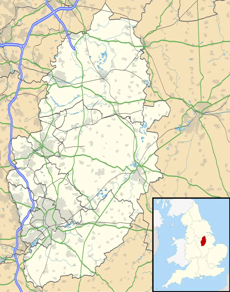 Spion Kop Location within Nottinghamshire | |
| OS grid reference | SK555665 |
| District | |
| Shire county | |
| Region | |
| Country | England |
| Sovereign state | United Kingdom |
| Post town | Mansfield |
| Postcode district | NG20 |
| Police | Nottinghamshire |
| Fire | Nottinghamshire |
| Ambulance | East Midlands |
| UK Parliament | |
Spion Kop is a small village in the Mansfield District in the civil parish of Warsop, in Nottinghamshire. It stretches along both sides of the main A60 road for a few hundred metres. Spion Kop lies to the south of Market Warsop. [1]
History
It is a settlement built and named after the Battle of Spion Kop which took place during the Second Boer War in Natal, South Africa, in January 1900.[2] A major military figure in the conflict was John Talbot Coke, grandson of D'Ewes Coke, born at Mansfield Woodhouse, a well-known Nottinghamshire industrialist and clergyman. At Mansfield Woodhouse a Coke Street was renamed Newhaven Avenue.
A modern, large-scale mixed-residential development was built on the extensive site of the old Wood Brothers timber business on Mansfield Road following a successful planning application to Mansfield District Council in 2011.[3]
References
- ^ Cite Web: https://www.mansfield.gov.uk/downloads/download/207/mansfield-ward-map%7CMansfield Ward Map|Mansfield District Council|2023|access date 9 May 2025
- ^ Warsop Web Retrieved 27 August 2014
- ^ Mansfield District Council, Planning permission for 40 bedroom care home and 58 dwellings, August 2011. Retrieved 27 August 2014
External links
![]() Media related to Spion Kop, Nottinghamshire at Wikimedia Commons
Media related to Spion Kop, Nottinghamshire at Wikimedia Commons