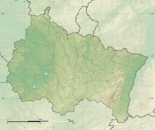
Soultzbach (Sauer)
| Soultzbach | |
|---|---|
  | |
| Location | |
| Country | France |
| Region | Alsace |
| Department | Bas-Rhin |
| Physical characteristics | |
| Source | |
| • location | In the Forêt de Katzenthal in the North Vosges, northwest of the hamlet of Soultzthal |
| • coordinates | 49°00′47″N 7°41′35″E / 49.0131°N 7.693°E |
| • elevation | ca. 310 m |
| Mouth | |
• location | Near Wœrth into the Sauer |
• coordinates | 48°56′31″N 7°44′50″E / 48.9419°N 7.7471°E |
• elevation | ca. 170 m |
| Length | 10.1 km [1] |
| Basin size | 20.2 km2 (7.8 sq mi)[2] |
| Discharge | |
| • location | mouth |
| • average | 0.228 m3/s (8.1 cu ft/s)[2] |
| Basin features | |
| Progression | Sauer→ Rhine→ North Sea |
| Reference no. | FR: Sandre. "A3610860". |
The Soultzbach (also Ruisseau le Soulzbach) is a river in Alsace, France. It is 10 kilometres (6.2 mi) long, and is a right tributary of the Sauer.
References
- ^ Sandre. "Fiche cours d'eau - Ruisseau le Soulzbach (A3610860)".
- ^ a b Débits caractéristiques, Soultzbach, Agence de l'eau Rhin-Meuse
External links
- Localisation des points de prélèvements (pdf; 994 kB)