Somo, Kentucky
Somo, Kentucky | |
|---|---|
 Somo  Somo | |
| Coordinates: 38°35′48″N 83°44′33″W / 38.59667°N 83.74250°W | |
| Country | United States |
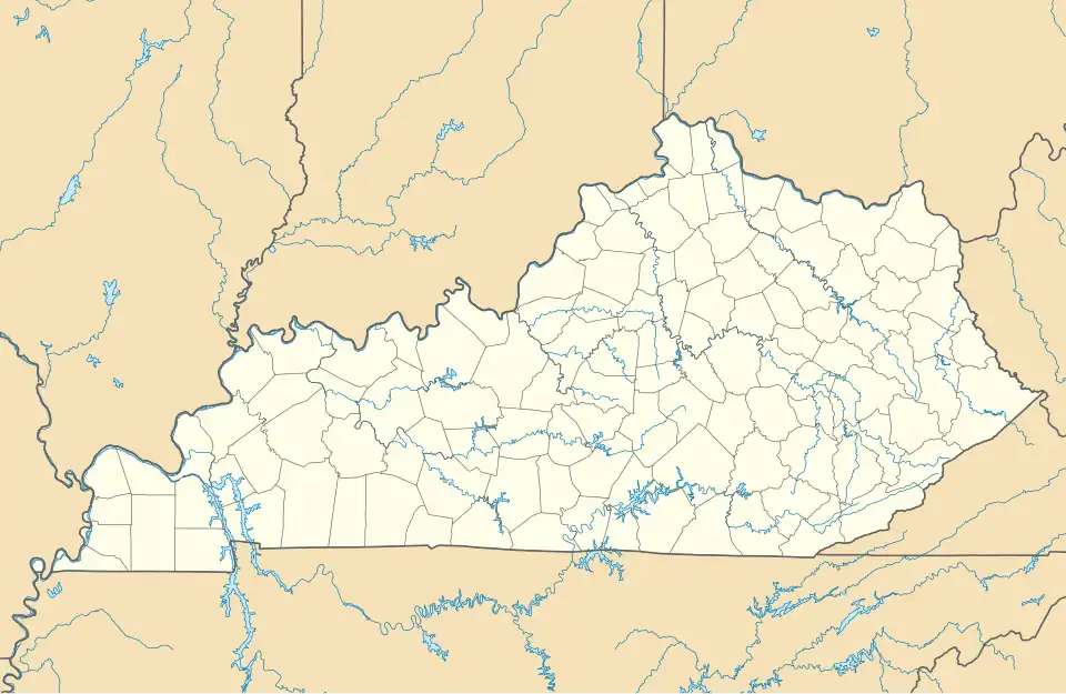
| State | Kentucky |
| County | Mason |
| Elevation | 846 ft (258 m) |
| Time zone | UTC-5 (Eastern (EST)) |
| • Summer (DST) | UTC-4 (EST) |
| Area code | 606 |
| GNIS feature ID | 515534[1] |
Somo is an unincorporated community in Mason County, Kentucky, United States. The closest incorporated settlement is Lewisburg, Kentucky.
Somo lies on the intersection of Kentucky Route 9 and Kentucky Route 3313. The community is approximately 2.5 miles away from the Ohio River, and by extension the Ohio state border.
Notes
Municipalities and communities of Mason County, Kentucky, United States | ||
|---|---|---|
| Cities | 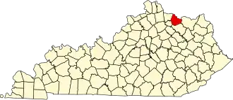 | |
| CDP | ||
| Other communities | ||
| Footnotes | ‡This populated place also has portions in an adjacent county or counties | |